Medium airport · Libya
Ghadames AirportHLTD
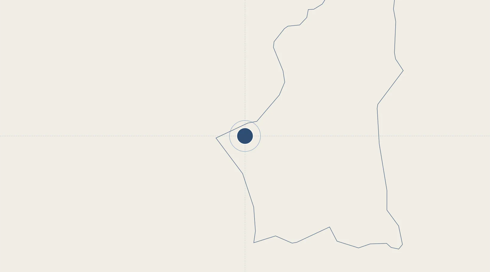
30.1455°, 9.7021°
11,811 ft
Longest runway
2
Runways
1,122 ft
Elevation
Runway & Layout

Radio Frequencies
TWR
118.1 MHz
Navaids
GAD VOR-DME Ghadames 115.80 MHz
GDS NDB Ghadames 347 kHz
Runways · 2
| Runway | Dimensions | Surface | True heading | Lit |
|---|---|---|---|---|
| 06/24 | 11,811 × 148ft | Asphalt | 062° | — |
| 01/19 | 6,516 × 131ft | Asphalt | 008° | — |
Airport Specifications
IATA code
LTD
ICAO code
HLTD
Airport class
Medium airport
Scheduled service
Yes
Runway surface
Asphalt
Served city
Ghadames
Location
Nearby Logistics Neighbours
Airports
- 1El Borma Airport179 km
- 2Zarzaitine - In Aménas Airport233 km
- 3Remada Air Base249 km
- 4Okba Ibn Nafa Air Base332 km
- 5Hassi Messaoud-Oued Irara Krim Belkacem Airport380 km
Cities
- 1I-N-Amenas234 km
- 2Rhourde Nouss340 km
- 3Medenine364 km
- 4Zarzis396 km
- 5Kebili401 km
Ports
- 1Abu Khammash382 km
- 2Zarzis396 km
- 3Az Zawiya411 km
- 4Gabes419 km
- 5Houmt Souk430 km
Trade Zones
- 1Taminhent Free Zone335 km
- 2Ben Guerdane Economic Free Zone377 km
- 3Zwara-Abu-Kemmash Free Trade Zone381 km
- 4Zarzis Park of Economic Activities394 km
- 5Misurata Free Zone578 km
DatabookThe Record of Consolidated Knowledge
Libya beyond logistics?