Channel & Berth Profile
Pilotage, Tugs & Services
Pilotage compulsoryYES
Pilotage availableYES
Tug assistanceYES
Potable waterNO
Diesel bunkersNO
MedicalYES
Garbage disposalNO
Facilities & Capabilities
Container—
Ro-Ro—
Liquid bulk—
Dry bulk—
Oil terminal—
Break bulk—
Dry dock—
Repairs—
BunkeringNO
Rail link—
Dangerous cargo—
ISPS security—
Harbour Specifications
Harbour size
Small
Harbour type
Open Roadstead
Shelter
Poor
Water body
Mediterranean Sea; North Atlantic Ocean
Pilotage
Yes
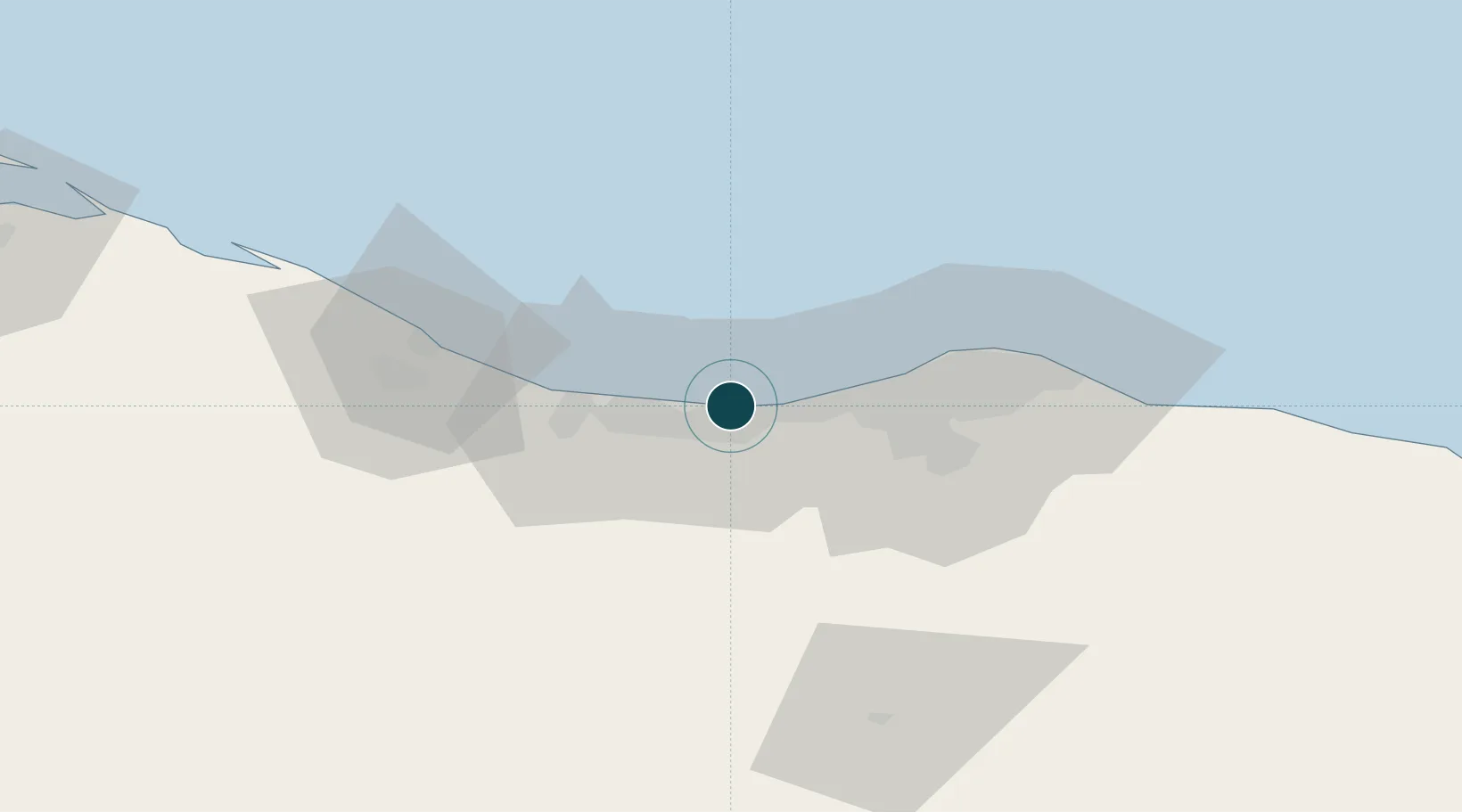
Location
Nearby Logistics Neighbours
Ports
- 1Mina Tarabulus (Tripoli)45 km
- 2Abu Khammash89 km
- 3Bouri Oil Field123 km
- 4Didon Terminal133 km
- 5Khoms144 km
Airports
- 1Mitiga International Airport54 km
- 2Okba Ibn Nafa Air Base85 km
- 3Djerba Zarzis International Airport216 km
- 4Remada Air Base226 km
- 5Misrata International Airport226 km
Trade Zones
DatabookThe Record of Consolidated Knowledge
Libya beyond logistics?