Medium airport · Libya
Sabha AirportHLLS
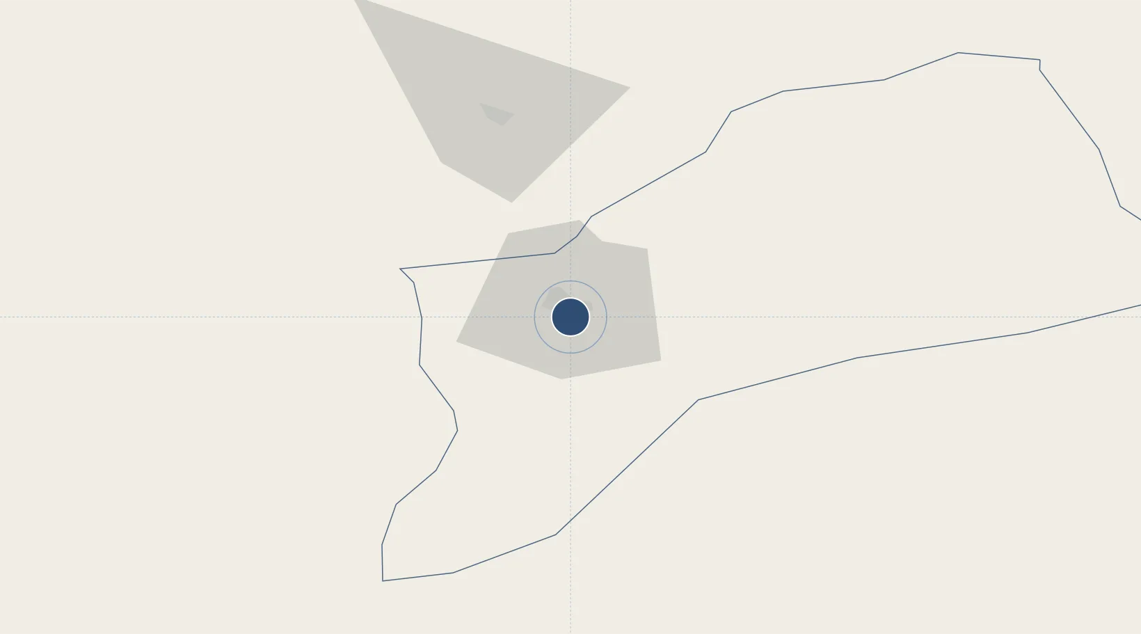
26.9925°, 14.4662°
11,778 ft
Longest runway
1
Runways
1,427 ft
Elevation
Runway & Layout

Radio Frequencies
TWR
119.1 MHz
GND
121.9 MHz
APP
119.1 MHz
Navaids
SEB VOR-DME Sebha 114.70 MHz
SEB NDB Sebha 283 kHz
Runways · 1
| Runway | Dimensions | Surface | True heading | Lit |
|---|---|---|---|---|
| 13/31 | 11,778 × 148ft | Asphalt | 133° | ✓ |
Airport Specifications
IATA code
SEB
ICAO code
HLLS
Airport class
Medium airport
Scheduled service
Yes
Runway surface
Asphalt
Served city
Sabha
Location
Nearby Logistics Neighbours
Airports
- 1Brak Airport76 km
- 2Ghat Airport478 km
- 3Zarzaitine - In Aménas Airport490 km
- 4Sirt International Airport / Ghardabiya Airbase497 km
- 5Illizi Takhamalt Airport580 km
Cities
- 1I-N-Amenas499 km
- 2Bu'ayrat al Hasun505 km
- 3As Sidr555 km
- 4Misurata601 km
- 5Mellitah (Qasr Ahmed)629 km
Ports
- 1As Sidr555 km
- 2Ras Lanuf560 km
- 3Misratah602 km
- 4Al Burayqah629 km
- 5Khoms631 km
Trade Zones
- 1Misurata Free Zone599 km
- 2Taminhent Free Zone659 km
- 3Zwara-Abu-Kemmash Free Trade Zone701 km
- 4Ben Guerdane Economic Free Zone739 km
- 5Elmreisa (Benghazi) Free Zone775 km
DatabookThe Record of Consolidated Knowledge
Libya beyond logistics?