Transport Functions
Port
Road
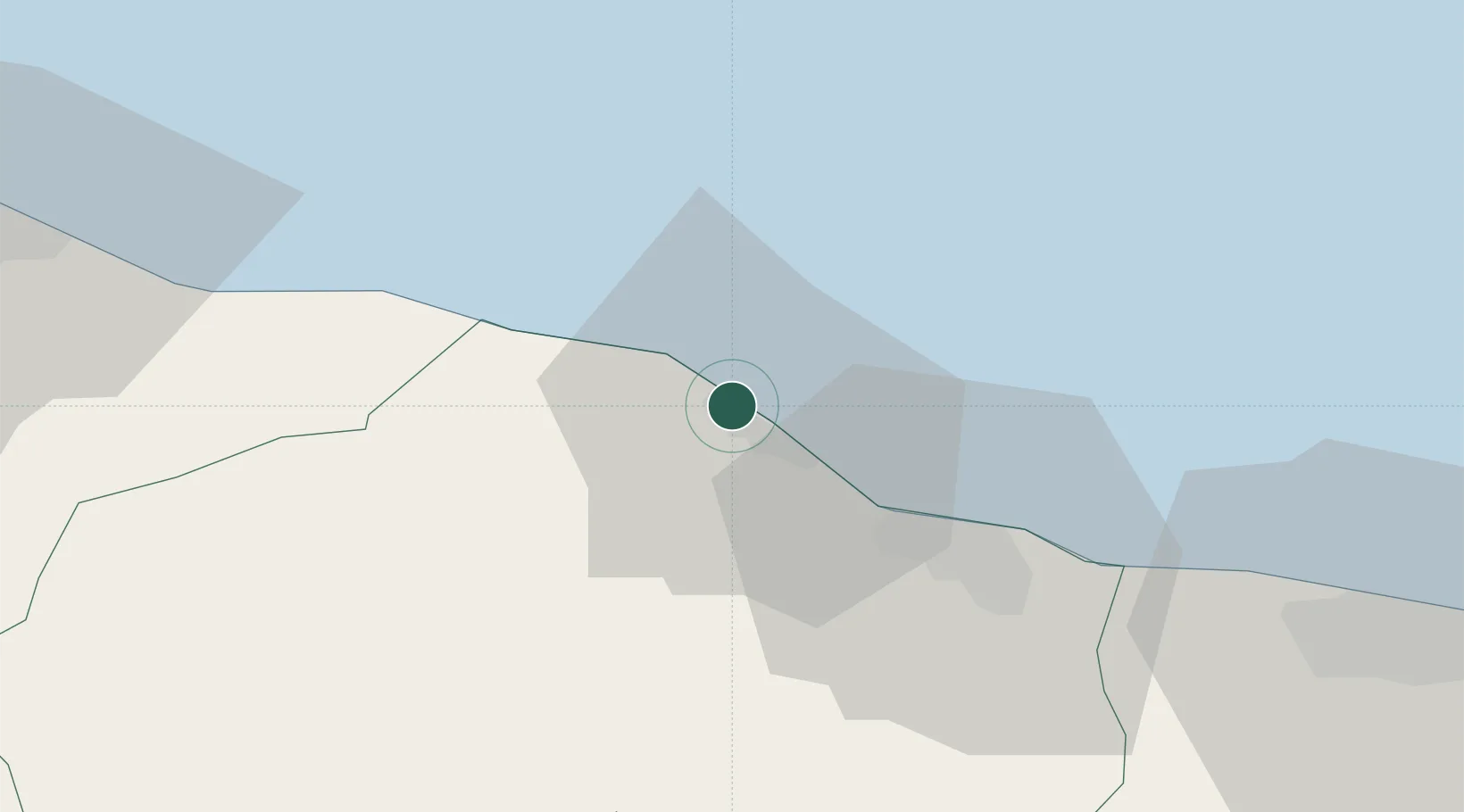
Location
Nearby Logistics Neighbours
Cities
- 1Al Khums4 km
- 2Misurata95 km
- 3Mellitah (Qasr Ahmed)102 km
- 4Tripoli105 km
- 5Az Zawiyah146 km
Ports
- 1Khoms2 km
- 2Misratah95 km
- 3Mina Tarabulus (Tripoli)105 km
- 4Az Zawiya146 km
- 5Bouri Oil Field205 km
Airports
Trade Zones
- 1Misurata Free Zone95 km
- 2Zwara-Abu-Kemmash Free Trade Zone211 km
- 3Taminhent Free Zone222 km
- 4Ben Guerdane Economic Free Zone259 km
- 5Zarzis Park of Economic Activities308 km
DatabookThe Record of Consolidated Knowledge
Libya beyond logistics?