Free Trade Zone · Tunisia

Zarzis Park of Economic Activities Active

33.4831°, 11.1110°
13 ha
Zone area
2.0 km
Nearest port
53.3 km
Nearest airport

Gateway access

Nearest neighbours — logibook spatial index (haversine) over the source coordinates

Zone profile

Zone type
Free Trade Zone
Open Zone Map
Region
Médenine
Open Zone Map
Status
Active
Open Zone Map
Management
Public-Private Partnership
Open Zone Map
Operator
Office de la Marine Marchande et des Ports, Tunisian National Oil Company
Open Zone Map
Legal framework
Law No. 92-81 of 31st August 1992 on Economic Activities Parks
Open Zone Map

Location

Location of ozm-4540
Natural Earth 10m (public domain) · Médenine · ozm-4540 · 33.48, 11.11GoogleOSMYandex

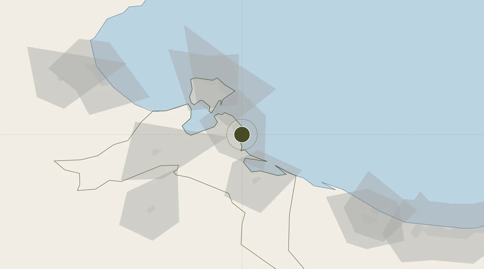
Nearby Logistics Neighbours

Ports
  1. 1Zarzis2 km
  2. 2Houmt Souk51 km
  3. 3Abu Khammash80 km
  4. 4Didon Terminal80 km
  5. 5Ashtart Oil Terminal93 km
Nearest neighbours — logibook spatial index (haversine) over the source coordinates
Airports
  1. 1Djerba Zarzis International Airport53 km
  2. 2Gabès Matmata International Airport114 km
  3. 3Okba Ibn Nafa Air Base134 km
  4. 4Sfax Thyna International Airport143 km
  5. 5Remada Air Base148 km
Nearest neighbours — logibook spatial index (haversine) over the source coordinates
Cities
  1. 1Zarzis2 km
  2. 2Medenine59 km
  3. 3Didon80 km
  4. 4Gabès102 km
  5. 5Mahires130 km
Nearest neighbours — logibook spatial index (haversine) over the source coordinates
Trade Zones
  1. 1Ben Guerdane Economic Free Zone56 km
  2. 2Zwara-Abu-Kemmash Free Trade Zone106 km
  3. 3Taminhent Free Zone133 km
  4. 4Misurata Free Zone403 km
  5. 5Malta Freeport407 km
Nearest neighbours — logibook spatial index (haversine) over the source coordinates
DatabookThe Record of Consolidated Knowledge
Tunisia beyond logistics?
Browse databook

All Sources

Trade ZonesOpen Zone Map
CC BY
Portsthe NGA World Port Index
Public domain (US gov)
AirportsOurAirports
Public domain
LocationsUN/LOCODE
UN/LOCODE — free
← Tunisia trade zones