Transport Functions
Road
Multimodal
Hub Profile
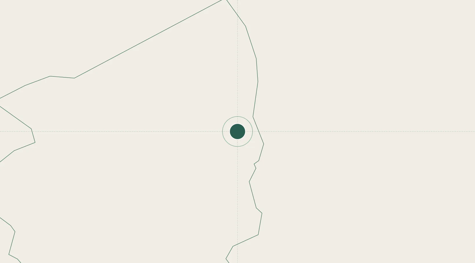
Place type
Populated place
Region
Illizi
Time zone
Africa/Algiers
Elevation
553 m
Location
Nearby Logistics Neighbours
Cities
- 1Rhourde Nouss279 km
- 2Medenine596 km
- 3Az Zawiyah604 km
- 4Zarzis624 km
- 5Kebili631 km
Ports
- 1Abu Khammash599 km
- 2Az Zawiya609 km
- 3Zarzis624 km
- 4Mina Tarabulus (Tripoli)642 km
- 5Gabes653 km
Airports
- 1Zarzaitine - In Aménas Airport9 km
- 2Illizi Takhamalt Airport174 km
- 3Ghadames Airport234 km
- 4Ghat Airport328 km
- 5El Borma Airport407 km
Trade Zones
- 1Taminhent Free Zone543 km
- 2Zwara-Abu-Kemmash Free Trade Zone593 km
- 3Ben Guerdane Economic Free Zone598 km
- 4Zarzis Park of Economic Activities622 km
- 5Misurata Free Zone723 km
DatabookThe Record of Consolidated Knowledge
Algeria beyond logistics?