Medium airport · Libya
Ghat AirportHLGT
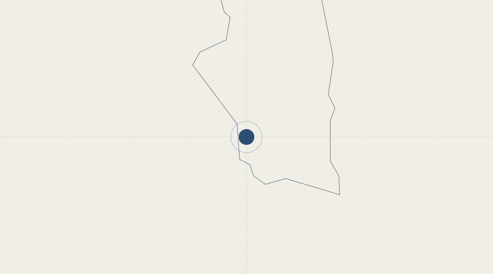
25.1456°, 10.1426°
11,811 ft
Longest runway
2
Runways
2,296 ft
Elevation
Runway & Layout

Radio Frequencies
TWR
118.1 MHz
Navaids
GHT NDB Ghat 386 kHz
Runways · 2
| Runway | Dimensions | Surface | True heading | Lit |
|---|---|---|---|---|
| 17/35 | 11,811 × 148ft | Asphalt | 172° | ✓ |
| 06/24 | 6,643 × 98ft | Asphalt | 061° | — |
Airport Specifications
IATA code
GHT
ICAO code
HLGT
Airport class
Medium airport
Scheduled service
Yes
Runway surface
Asphalt
Served city
Ghat
Location
Nearby Logistics Neighbours
Airports
- 1Tiska Djanet Airport118 km
- 2Illizi Takhamalt Airport232 km
- 3Zarzaitine - In Aménas Airport327 km
- 4Sabha Airport478 km
- 5Brak Airport497 km
Cities
- 1I-N-Amenas328 km
- 2Rhourde Nouss502 km
- 3Az Zawiyah882 km
- 4Bu'ayrat al Hasun885 km
- 5Tripoli912 km
Ports
- 1Az Zawiya887 km
- 2Abu Khammash896 km
- 3Mina Tarabulus (Tripoli)911 km
- 4Khoms927 km
- 5Zarzis934 km
Trade Zones
- 1Taminhent Free Zone835 km
- 2Zwara-Abu-Kemmash Free Trade Zone886 km
- 3Ben Guerdane Economic Free Zone900 km
- 4Zarzis Park of Economic Activities932 km
- 5Misurata Free Zone940 km
DatabookThe Record of Consolidated Knowledge
Libya beyond logistics?