Transport Functions
Multimodal
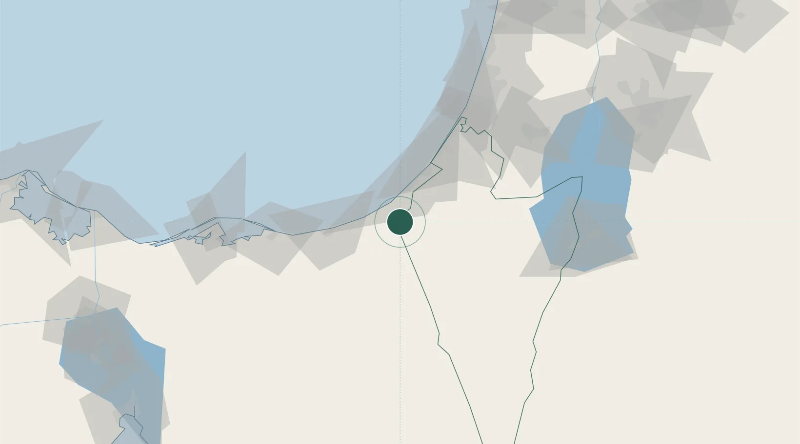
Hub Profile
Place type
Populated place
Region
Southern District
Population
183
Time zone
Asia/Jerusalem
Elevation
90 m
Location
Nearby Logistics Neighbours
Cities
- 1Julis64 km
- 2Ashdod Logisticare75 km
- 3Ashdod Bonded Air77 km
- 4Ashdod Fridenson77 km
- 5Ashdod Granaries77 km
Airports
- 1El Jora Airport18 km
- 2El Arish International Airport46 km
- 3Ramon Air Base60 km
- 4Nevatim Air Base69 km
- 5Tel Nof Air Base88 km
Trade Zones
DatabookThe Record of Consolidated Knowledge
Israel beyond logistics?