Large airport · Egypt

El Arish International AirportHEAR
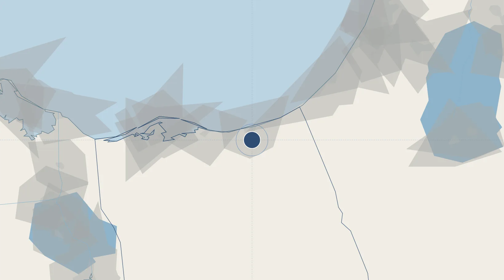
31.0553°, 33.8280°
9,905 ft
Longest runway
2
Runways
118 ft
Elevation

Runway & Layout

El Arish International Airport runway & taxiway layout
Runway & taxiway layout — OpenStreetMap (ODbL) / OurAirports

Radio Frequencies

TWR
121 MHz
GND
121.9 MHz
APP
123.725 MHz
RADAR
RDO
579 MHz
OurAirports

Navaids

ARH VOR-DME El Arish 113.60 MHz
OurAirports

Runways · 2

RunwayDimensions SurfaceTrue headingLit
16L/34R 9,905 × 148ft Asphalt 157°
16R/34L 9,905 × 148ft ASPH 157°
OurAirports

Airport Specifications

IATA code
AAC
OurAirports
ICAO code
HEAR
OurAirports
Airport class
Large airport
OurAirports
Scheduled service
Yes
OurAirports
Runway surface
Asphalt
OurAirports
Served city
El Arish
OurAirports

Location

Location of HEAR
Natural Earth 10m (public domain) · Shamal Sina' · HEAR · 31.06, 33.83GoogleOSMYandex

Nearby Logistics Neighbours

Airports
  1. 1El Jora Airport31 km
  2. 2Ramon Air Base86 km
  3. 3Bardawil International Airport96 km
  4. 4Nevatim Air Base114 km
  5. 5Tel Nof Air Base128 km
Nearest neighbours — logibook spatial index (haversine) over the source coordinates
Cities
  1. 1Kerem Shalom46 km
  2. 2Julis105 km
  3. 3Ashdod Logisticare114 km
  4. 4Ashdod Bonded Air115 km
  5. 5Ashdod Fridenson115 km
Nearest neighbours — logibook spatial index (haversine) over the source coordinates
Ports
  1. 1Al Arish11 km
  2. 2Ashqelon93 km
  3. 3Ashdod115 km
  4. 4Bur Sa'id147 km
  5. 5El Ismailiya157 km
Nearest neighbours — logibook spatial index (haversine) over the source coordinates
Trade Zones
  1. 1Gaza Industrial Estate (GIE)77 km
  2. 2Port Said Public Free Zone147 km
  3. 3Bethlehem Industrial Estate -BIE149 km
  4. 4Ishmailia Public Free Zone163 km
  5. 5Al Tafilah Development Zone164 km
Nearest neighbours — logibook spatial index (haversine) over the source coordinates
DatabookThe Record of Consolidated Knowledge
Egypt beyond logistics?
Browse databook

All Sources

AirportsOurAirports
Public domain
Portsthe NGA World Port Index
Public domain (US gov)
LocationsUN/LOCODE
UN/LOCODE — free
Trade Zonesthe World Bank SEZ database
CC BY 4.0
Trade ZonesOpen Zone Map
CC BY
InfrastructureOpenStreetMap
ODbL 1.0
← Egypt airports