UN/LOCODE hub · Israel
ILJUL

Julis

31.6833°, 34.6500°
1
Transport functions

Transport Functions

Port
UN/LOCODE

Hub Profile

Region
Southern District
GeoNames
Time zone
Asia/Jerusalem
GeoNames
Elevation
49 m
GeoNames

Location

Location of ILJUL
Natural Earth 10m (public domain) · Southern District · ILJUL · 31.68, 34.65GoogleOSMYandex

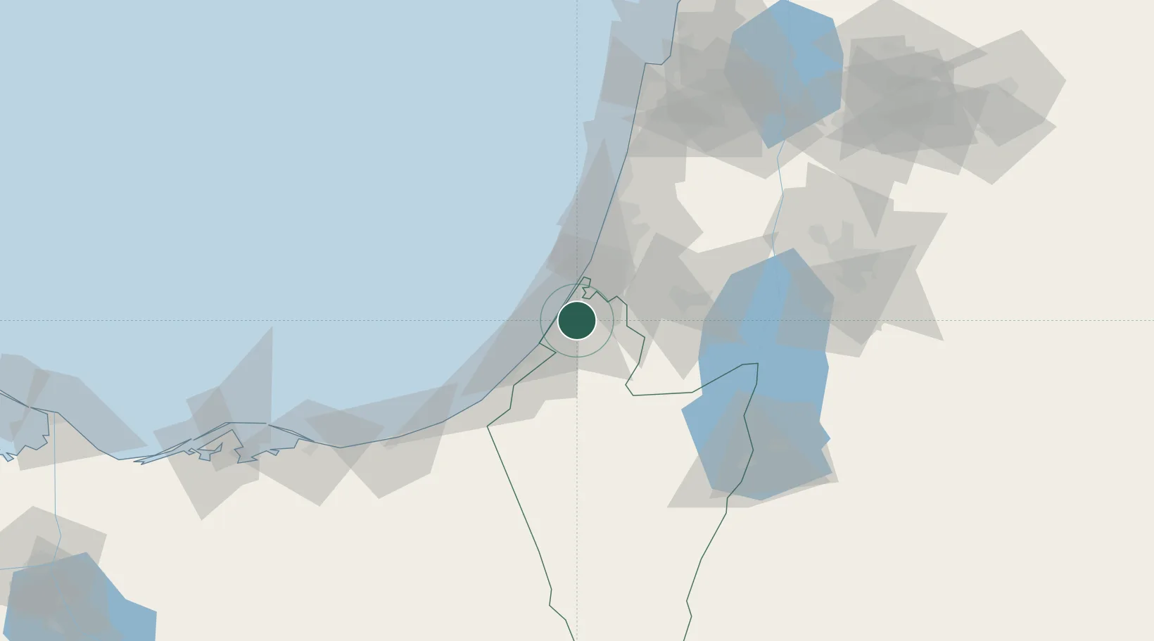
Nearby Logistics Neighbours

Cities
  1. 1Ashdod Logisticare13 km
  2. 2Ashdod Bonded Air15 km
  3. 3Ashdod Fridenson15 km
  4. 4Ashdod Granaries15 km
  5. 5Ashdod Southport15 km
Nearest neighbours — logibook spatial index (haversine) over the source coordinates
Ports
  1. 1Ashqelon14 km
  2. 2Ashdod15 km
  3. 3Hadera90 km
  4. 4Al Arish98 km
  5. 5Haifa130 km
Nearest neighbours — logibook spatial index (haversine) over the source coordinates
Airports
  1. 1Tel Nof Air Base24 km
  2. 2Ben Gurion International Airport43 km
  3. 3Nevatim Air Base63 km
  4. 4Bar Yehuda Airfield80 km
  5. 5El Jora Airport82 km
Nearest neighbours — logibook spatial index (haversine) over the source coordinates
Trade Zones
  1. 1Gaza Industrial Estate (GIE)28 km
  2. 2Bethlehem Industrial Estate -BIE52 km
  3. 3Jericho Argo- Industrial Park (JAIP)78 km
  4. 4Al-Karama Free Zone92 km
  5. 5Al-Salt Development Zone103 km
Nearest neighbours — logibook spatial index (haversine) over the source coordinates
DatabookThe Record of Consolidated Knowledge
Israel beyond logistics?
Browse databook

All Sources

LocationsUN/LOCODE
UN/LOCODE — free
Portsthe NGA World Port Index
Public domain (US gov)
AirportsOurAirports
Public domain
Trade Zonesthe World Bank SEZ database
CC BY 4.0
Trade ZonesOpen Zone Map
CC BY
← Israel locations