Specialized Zone · Jordan

Al Muhammadiyah Development Zone Under Development
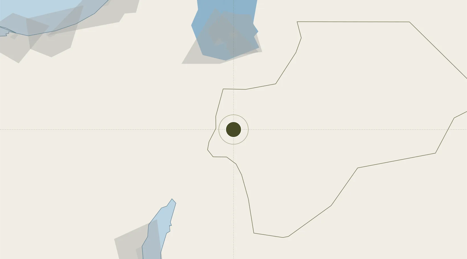
30.2204°, 35.5468°
94.2 km
Nearest port
59.3 km
Nearest airport

Gateway access

Nearest neighbours — logibook spatial index (haversine) over the source coordinates

Zone profile

Zone type
Specialized Zone
Open Zone Map
Specialization
Medical
Open Zone Map
Region
Ma`an
Open Zone Map
Status
Under Development
Open Zone Map
Management
Public
Open Zone Map
Operator
Jordan Investment Commission
Open Zone Map
Legal framework
The Investment Law No. (30) of 2014.
Open Zone Map

Location

Location of ozm-2635
Natural Earth 10m (public domain) · Ma`an · ozm-2635 · 30.22, 35.55GoogleOSMYandex

Nearby Logistics Neighbours

Ports
  1. 1Elat94 km
  2. 2Al Aqabah94 km
  3. 3Nuwaybi'164 km
  4. 4Ashqelon189 km
  5. 5Al Arish194 km
Nearest neighbours — logibook spatial index (haversine) over the source coordinates
Airports
  1. 1King Feisal Air Base59 km
  2. 2Ramon International Airport75 km
  3. 3King Hussein International Airport85 km
  4. 4Taba International Airport102 km
  5. 5Ramon Air Base105 km
Nearest neighbours — logibook spatial index (haversine) over the source coordinates
Cities
  1. 1Red Sea Security94 km
  2. 2'Aqaba94 km
  3. 3Al 'Aqabah97 km
  4. 4Mishor Rotem100 km
  5. 5Qir Moav108 km
Nearest neighbours — logibook spatial index (haversine) over the source coordinates
Trade Zones
  1. 1Maan Maʿān Development Area0 km
  2. 2Al Tafilah Development Zone65 km
  3. 3Aqaba International Industrial Estate85 km
  4. 4Aqaba Special Economic Zone91 km
  5. 5Shkhoret Industrial Zone92 km
Nearest neighbours — logibook spatial index (haversine) over the source coordinates
DatabookThe Record of Consolidated Knowledge
Jordan beyond logistics?
Browse databook

All Sources

Trade ZonesOpen Zone Map
CC BY
Portsthe NGA World Port Index
Public domain (US gov)
AirportsOurAirports
Public domain
LocationsUN/LOCODE
UN/LOCODE — free
← Jordan trade zones