UN/LOCODE hub · Egypt
EGSIN

South Sinai (Ganoub Sinai)

29.8667°, 34.0000°
2
Transport functions

Transport Functions

Port
Multimodal
UN/LOCODE

Hub Profile

Region
SUZ
GeoNames

Location

Location of EGSIN
Natural Earth 10m (public domain) · SUZ · EGSIN · 29.87, 34.00GoogleOSMYandex

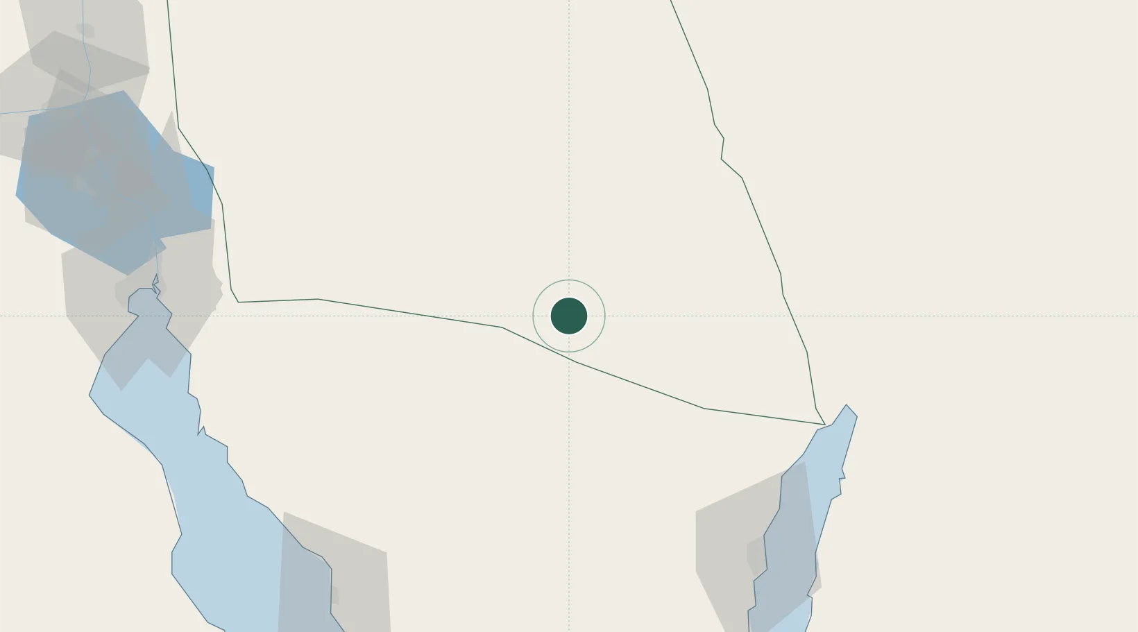
Nearby Logistics Neighbours

Cities
  1. 1Red Sea Security98 km
  2. 2'Aqaba104 km
  3. 3Al 'Aqabah108 km
  4. 4Nuwaiba118 km
  5. 5Abu Zenimah126 km
Nearest neighbours — logibook spatial index (haversine) over the source coordinates
Ports
  1. 1Elat98 km
  2. 2Al Aqabah104 km
  3. 3Nuwaybi'118 km
  4. 4Ras Abu Zanimah126 km
  5. 5Ras Sudr129 km
Nearest neighbours — logibook spatial index (haversine) over the source coordinates
Airports
  1. 1Taba International Airport81 km
  2. 2Ramon International Airport99 km
  3. 3Bardawil International Airport101 km
  4. 4King Hussein International Airport102 km
  5. 5Ramon Air Base120 km
Nearest neighbours — logibook spatial index (haversine) over the source coordinates
Trade Zones
  1. 1Shkhoret Industrial Zone94 km
  2. 2Eilat Free Port Zone97 km
  3. 3Aqaba International Industrial Estate104 km
  4. 4Aqaba Special Economic Zone104 km
  5. 5Suez Public Free Zone138 km
Nearest neighbours — logibook spatial index (haversine) over the source coordinates
DatabookThe Record of Consolidated Knowledge
Egypt beyond logistics?
Browse databook

All Sources

LocationsUN/LOCODE
UN/LOCODE — free
Portsthe NGA World Port Index
Public domain (US gov)
AirportsOurAirports
Public domain
Trade Zonesthe World Bank SEZ database
CC BY 4.0
Trade ZonesOpen Zone Map
CC BY
← Egypt locations