Channel & Berth Profile
Pilotage, Tugs & Services
Pilotage compulsoryYES
Pilotage availableYES
Pilotage advisableYES
Tug assistanceYES
Salvage tugsYES
Potable waterNO
Diesel bunkersNO
MedicalYES
Facilities & Capabilities
Container—
Ro-Ro—
Liquid bulk—
Dry bulk—
Oil terminal—
Break bulk—
Dry dock—
Repairs—
BunkeringNO
Rail link—
Dangerous cargo—
ISPS security—
Harbour Specifications
Harbour size
Very Small
Harbour type
Open Roadstead
Shelter
Poor
Water body
Gulf of Suez; Red Sea; Indian Ocean
Tidal range
1 m
Pilotage
Yes
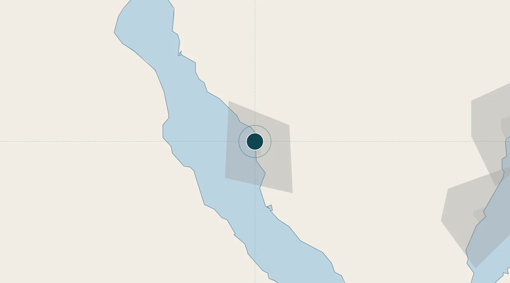
Location
Nearby Logistics Neighbours
Ports
- 1Ras Abu Zanimah11 km
- 2Wadi Feiran23 km
- 3Ras Gharib67 km
- 4Ras Sudr84 km
- 5At Tur91 km
Cities
- 1Abu Zenimah13 km
- 2Dome Marina85 km
- 3Ras Sudr87 km
- 4El Tor91 km
- 5Galala Marina92 km
Airports
Trade Zones
- 1Suez Canal Economic Zone119 km
- 2Suez Public Free Zone125 km
- 3Eilat Free Port Zone182 km
- 4Red Sea Project183 km
- 5Shkhoret Industrial Zone185 km
DatabookThe Record of Consolidated Knowledge
Egypt beyond logistics?