UN/LOCODE hub · Egypt
EGNUW

Nuwaiba

28.9667°, 34.6500°
1
Transport functions

Transport Functions

Port
Nuwaiba is also a profiled seaport →
UN/LOCODE

Hub Profile

Region
JS
GeoNames

Location

Location of EGNUW
Natural Earth 10m (public domain) · JS · EGNUW · 28.97, 34.65GoogleOSMYandex

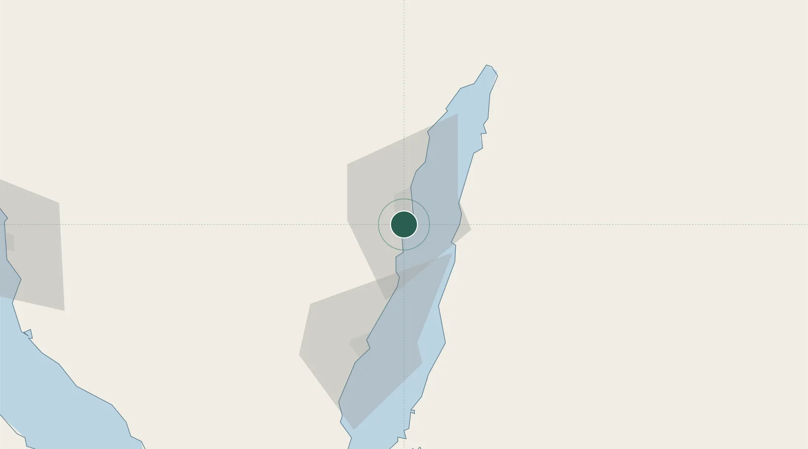
Nearby Logistics Neighbours

Cities
  1. 1Al 'Aqabah67 km
  2. 2'Aqaba70 km
  3. 3Red Sea Security71 km
  4. 4Al Khuraibah114 km
  5. 5South Sinai (Ganoub Sinai)118 km
Nearest neighbours — logibook spatial index (haversine) over the source coordinates
Ports
  1. 1Al Aqabah70 km
  2. 2Elat71 km
  3. 3Sharm El Sheikh129 km
  4. 4At Tur130 km
  5. 5Wadi Feiran143 km
Nearest neighbours — logibook spatial index (haversine) over the source coordinates
Airports
  1. 1Saint Catherine International Airport65 km
  2. 2Taba International Airport71 km
  3. 3King Hussein International Airport80 km
  4. 4Ramon International Airport92 km
  5. 5Sharm El Sheikh International Airport113 km
Nearest neighbours — logibook spatial index (haversine) over the source coordinates
Trade Zones
  1. 1Eilat Free Port Zone68 km
  2. 2Aqaba Special Economic Zone74 km
  3. 3Shkhoret Industrial Zone74 km
  4. 4Aqaba International Industrial Estate79 km
  5. 5Red Sea Project100 km
Nearest neighbours — logibook spatial index (haversine) over the source coordinates
DatabookThe Record of Consolidated Knowledge
Egypt beyond logistics?
Browse databook

All Sources

LocationsUN/LOCODE
UN/LOCODE — free
Portsthe NGA World Port Index
Public domain (US gov)
AirportsOurAirports
Public domain
Trade Zonesthe World Bank SEZ database
CC BY 4.0
Trade ZonesOpen Zone Map
CC BY
← Egypt locations