UN/LOCODE hub · Israel
ILTRS

Red Sea Security

29.5500°, 34.9500°
1
Transport functions

Transport Functions

Multimodal
UN/LOCODE

Hub Profile

Region
D
GeoNames

Location

Location of ILTRS
Natural Earth 10m (public domain) · D · ILTRS · 29.55, 34.95GoogleOSMYandex

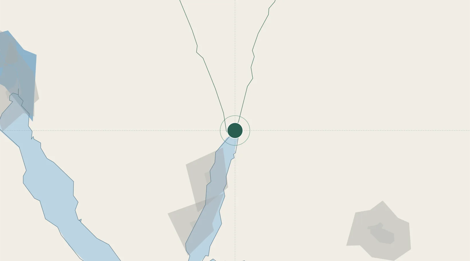
Nearby Logistics Neighbours

Cities
  1. 1'Aqaba6 km
  2. 2Al 'Aqabah11 km
  3. 3Nuwaiba71 km
  4. 4South Sinai (Ganoub Sinai)98 km
  5. 5Al Khuraibah168 km
Nearest neighbours — logibook spatial index (haversine) over the source coordinates
Ports
  1. 1Elat0 km
  2. 2Al Aqabah6 km
  3. 3Nuwaybi'71 km
  4. 4Ras Badran Oil Terminal185 km
  5. 5Ras Abu Zanimah187 km
Nearest neighbours — logibook spatial index (haversine) over the source coordinates
Airports
  1. 1King Hussein International Airport10 km
  2. 2Taba International Airport18 km
  3. 3Ramon International Airport21 km
  4. 4Saint Catherine International Airport129 km
  5. 5Ramon Air Base139 km
Nearest neighbours — logibook spatial index (haversine) over the source coordinates
Trade Zones
  1. 1Eilat Free Port Zone3 km
  2. 2Shkhoret Industrial Zone6 km
  3. 3Aqaba Special Economic Zone6 km
  4. 4Aqaba International Industrial Estate9 km
  5. 5Al Muhammadiyah Development Zone94 km
Nearest neighbours — logibook spatial index (haversine) over the source coordinates
DatabookThe Record of Consolidated Knowledge
Israel beyond logistics?
Browse databook

All Sources

LocationsUN/LOCODE
UN/LOCODE — free
Portsthe NGA World Port Index
Public domain (US gov)
AirportsOurAirports
Public domain
Trade Zonesthe World Bank SEZ database
CC BY 4.0
Trade ZonesOpen Zone Map
CC BY
← Israel locations