Transport Functions
Multimodal
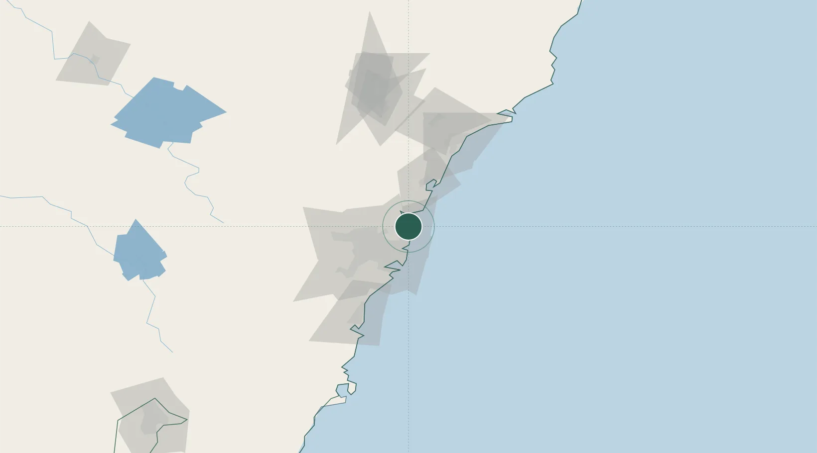
Hub Profile
Place type
Populated place
Region
New South Wales
Population
10,877
Time zone
Australia/Sydney
Elevation
11 m
Location
Nearby Logistics Neighbours
Cities
- 1Brookvale/Sidney10 km
- 2Belrose11 km
- 3Freshwater11 km
- 4Clontarf16 km
- 5Mount Kuring-Gai16 km
Ports
- 1Sydney24 km
- 2Botany Bay38 km
- 3Newcastle95 km
- 4Port Kembla97 km
- 5Jervis Bay168 km
Airports
Trade Zones
DatabookThe Record of Consolidated Knowledge
Australia beyond logistics?