Transport Functions
Port
Multimodal
Hub Profile
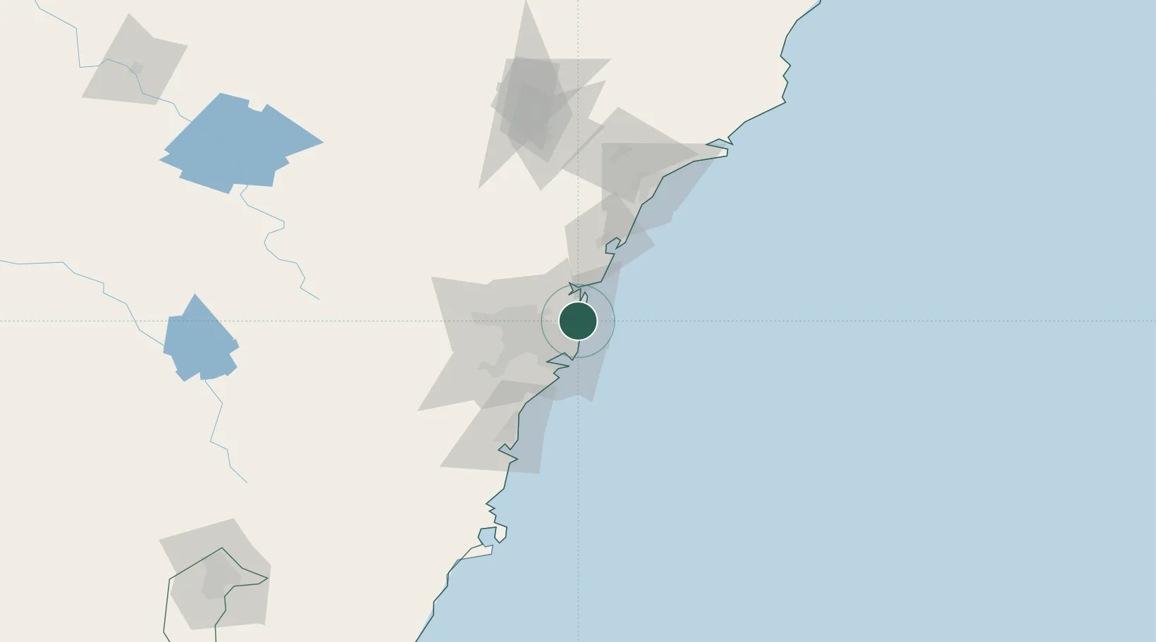
Place type
Urban district
Region
New South Wales
Population
8,584
Time zone
Australia/Sydney
Elevation
10 m
Location
Nearby Logistics Neighbours
Cities
- 1Brookvale/Sidney2 km
- 2Clontarf5 km
- 3North Bridge7 km
- 4Belrose7 km
- 5Mosman8 km
Ports
- 1Sydney14 km
- 2Botany Bay26 km
- 3Port Kembla87 km
- 4Newcastle105 km
- 5Jervis Bay157 km
Airports
Trade Zones
DatabookThe Record of Consolidated Knowledge
Australia beyond logistics?