UN/LOCODE hub · Australia
AUBVE

Brookvale/Sidney

-33.7500°, 151.2667°
2
Transport functions

Transport Functions

Road
Multimodal
UN/LOCODE

Hub Profile

Region
NSW
GeoNames

Location

Location of AUBVE
Natural Earth 10m (public domain) · NSW · AUBVE · -33.75, 151.27GoogleOSMYandex

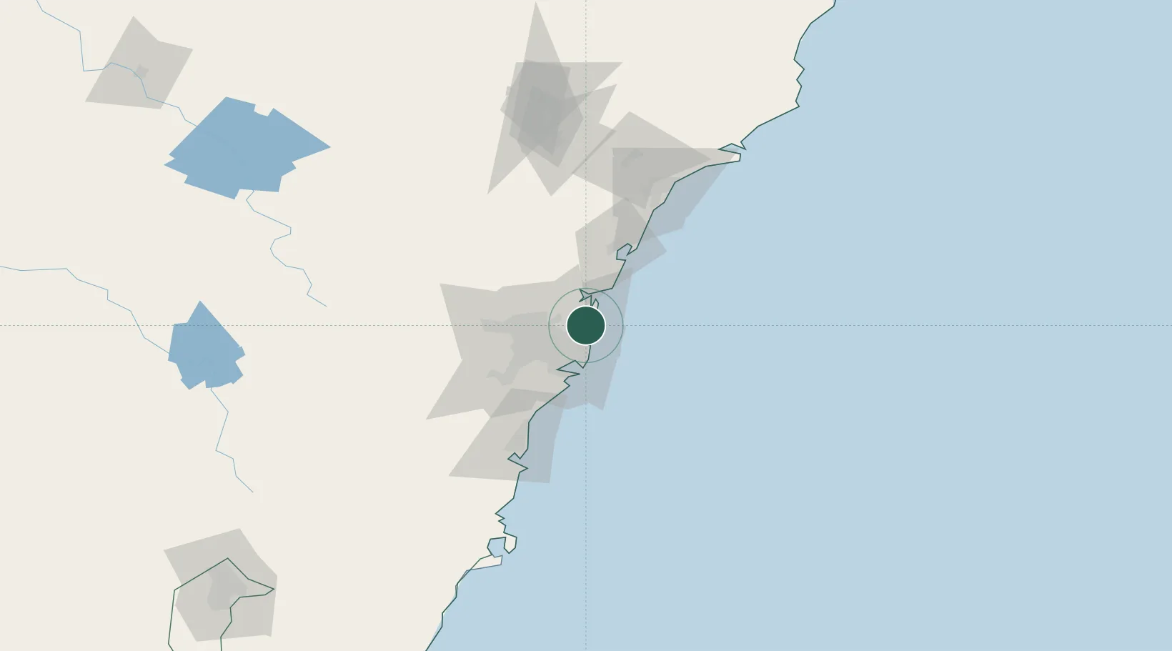
Nearby Logistics Neighbours

Cities
  1. 1Freshwater2 km
  2. 2Belrose5 km
  3. 3Clontarf6 km
  4. 4North Bridge7 km
  5. 5Mosman9 km
Nearest neighbours — logibook spatial index (haversine) over the source coordinates
Ports
  1. 1Sydney14 km
  2. 2Botany Bay28 km
  3. 3Port Kembla88 km
  4. 4Newcastle104 km
  5. 5Jervis Bay158 km
Nearest neighbours — logibook spatial index (haversine) over the source coordinates
Airports
  1. 1Palm Beach Seaplane Base19 km
  2. 2Sydney Kingsford Smith International Airport23 km
  3. 3Sydney Bankstown Airport32 km
  4. 4RAAF Base Richmond48 km
  5. 5Camden Airport62 km
Nearest neighbours — logibook spatial index (haversine) over the source coordinates
Trade Zones
  1. 1Latrobe Valley Economic Growth Zone664 km
  2. 2Hicks Bay Area Special Economic Zone2456 km
  3. 3Vanuatu Economic Development Zone2581 km
  4. 4Paga Hill Estate Special Economic Zone2731 km
  5. 5Tulagi Island Special Economic Zone2887 km
Nearest neighbours — logibook spatial index (haversine) over the source coordinates
DatabookThe Record of Consolidated Knowledge
Australia beyond logistics?
Browse databook

All Sources

LocationsUN/LOCODE
UN/LOCODE — free
Portsthe NGA World Port Index
Public domain (US gov)
AirportsOurAirports
Public domain
Trade Zonesthe World Bank SEZ database
CC BY 4.0
Trade ZonesOpen Zone Map
CC BY
← Australia locations