UN/LOCODE hub · Australia
AUMKG
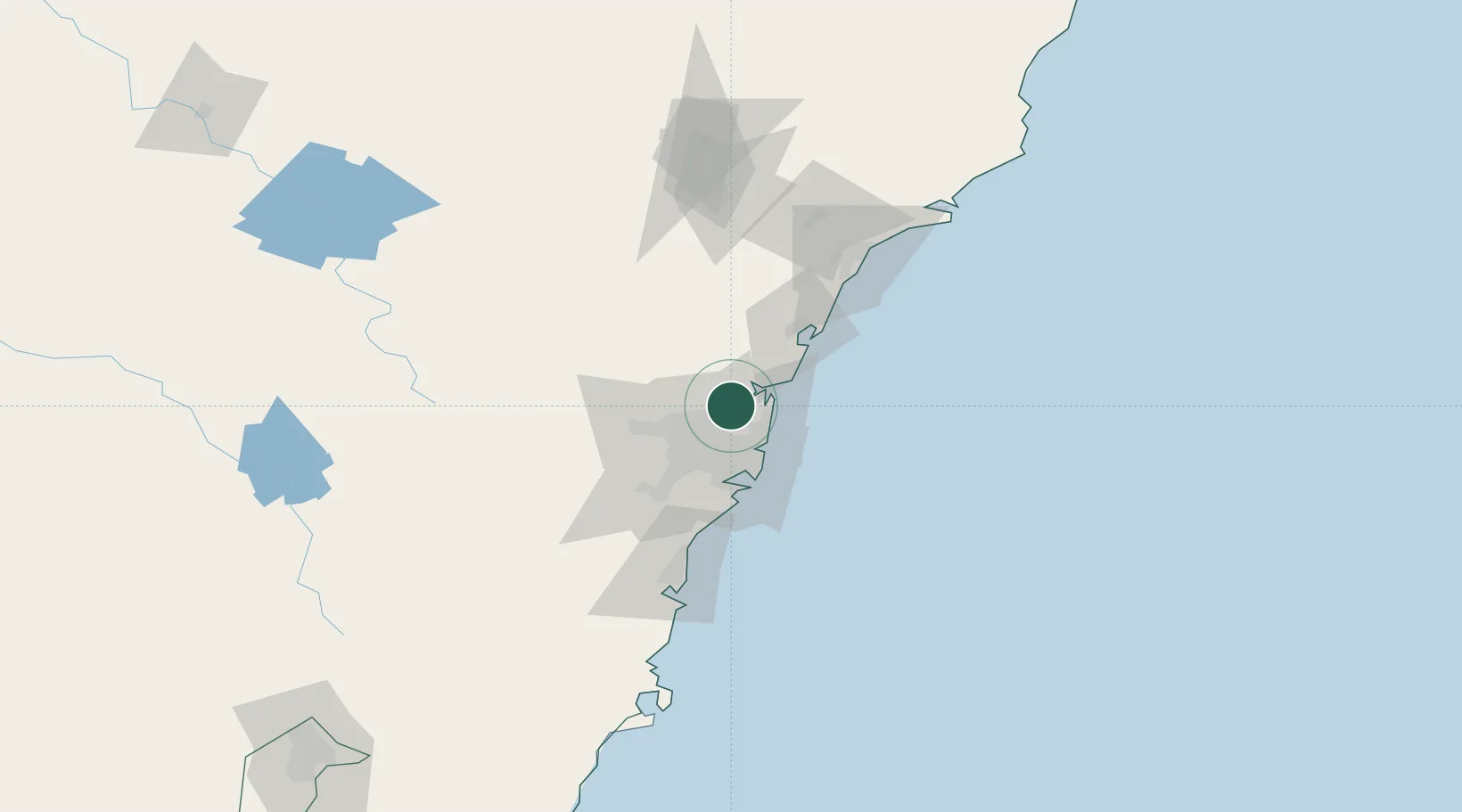
Mount Kuring-Gai
-33.6500°, 151.1333°
1,693
Population
2
Transport functions
Transport Functions
Rail
Road
Hub Profile
Place type
Urban district
Region
New South Wales
Population
1,693
Time zone
Australia/Sydney
Elevation
213 m
Location
Nearby Logistics Neighbours
Cities
- 1Asquith5 km
- 2Pennant Hills11 km
- 3Hornsby12 km
- 4Belrose12 km
- 5West Pymble13 km
Ports
- 1Sydney25 km
- 2Botany Bay40 km
- 3Port Kembla95 km
- 4Newcastle102 km
- 5Jervis Bay166 km
Airports
Trade Zones
DatabookThe Record of Consolidated Knowledge
Australia beyond logistics?