Medium airport · United States
Yellowstone Regional AirportKCOD
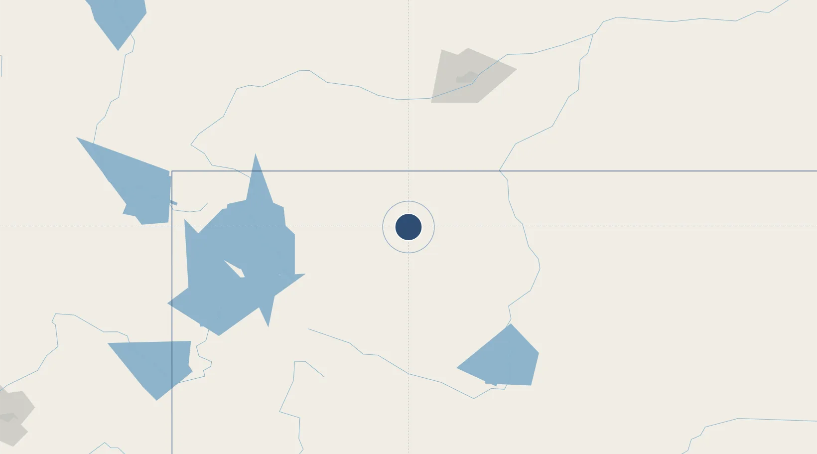
44.5202°, -109.0240°
8,268 ft
Longest runway
1
Runways
5,102 ft
Elevation
Runway & Layout

Radio Frequencies
AWOS
135.075 MHz
AWOS 3
CNTR
133.25 MHz
SALT LAKE CITY CNTR
RDO
122.3 MHz
CASPER RDO
UNIC
122.8 MHz
CTAF/UNICOM
Runways · 1
| Runway | Dimensions | Surface | True heading | Lit |
|---|---|---|---|---|
| 04/22 | 8,268 × 100ft | Asphalt | 052° | ✓ |
Airport Specifications
IATA code
COD
ICAO code
KCOD
Airport class
Medium airport
Scheduled service
Yes
Runway surface
Asphalt
Served city
Cody
Location
Nearby Logistics Neighbours
Airports
- 1Worland Municipal Airport105 km
- 2Billings Logan International Airport148 km
- 3Sheridan County Airport164 km
- 4Yellowstone Airport167 km
- 5Central Wyoming Regional Airport168 km
Ports
- 1The Dalles962 km
- 2Sacramento1228 km
- 3Courtland1250 km
- 4Walnut Grove1253 km
- 5Stockton1258 km
Trade Zones
- 1FTZ No. 275 Lansing321 km
- 2FTZ No. 274 Butte-Silver Bow342 km
- 3FTZ No. 088 Great Falls381 km
- 4FTZ No. 030 Salt Lake City482 km
- 5FTZ No. 187 Toole County519 km
DatabookThe Record of Consolidated Knowledge
United States beyond logistics?