Transport Functions
Rail
Road
Multimodal
Hub Profile
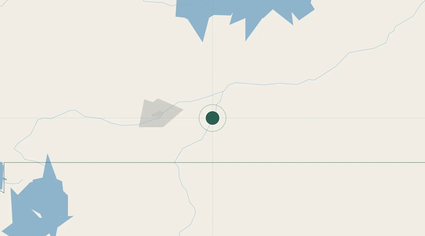
Place type
Provincial seat
Region
Montana
Population
3,800
Time zone
America/Denver
Elevation
886 m
Location
Nearby Logistics Neighbours
Ports
- 1The Dalles1053 km
- 2Duluth1197 km
- 3Superior1199 km
- 4Sacramento1390 km
- 5Courtland1413 km
Airports
Trade Zones
- 1FTZ No. 088 Great Falls352 km
- 2FTZ No. 275 Lansing382 km
- 3FTZ No. 274 Butte-Silver Bow411 km
- 4FTZ No. 187 Toole County476 km
- 5Global Transportation Hub Authority566 km
DatabookThe Record of Consolidated Knowledge
United States beyond logistics?