UN/LOCODE hub · United States
USTSL
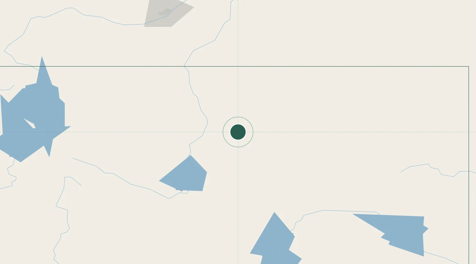
Ten Sleep
44.0333°, -107.4500°
254
Population
3
Transport functions
Transport Functions
Port
Road
Multimodal
Hub Profile
Place type
Populated place
Region
Wyoming
Population
254
Time zone
America/Denver
Elevation
1,349 m
Location
Nearby Logistics Neighbours
Cities
- 1Upton68 km
- 2Mills160 km
- 3Evansville163 km
- 4Granby168 km
- 5Weston181 km
Ports
- 1The Dalles1096 km
- 2Duluth1234 km
- 3Superior1236 km
- 4Sacramento1318 km
- 5Courtland1338 km
Airports
Trade Zones
- 1FTZ No. 275 Lansing456 km
- 2FTZ No. 274 Butte-Silver Bow478 km
- 3FTZ No. 088 Great Falls495 km
- 4FTZ No. 298 Jefferson County514 km
- 5FTZ No. 123 Denver519 km
DatabookThe Record of Consolidated Knowledge
United States beyond logistics?