Medium airport · United States
Sheridan County AirportKSHR
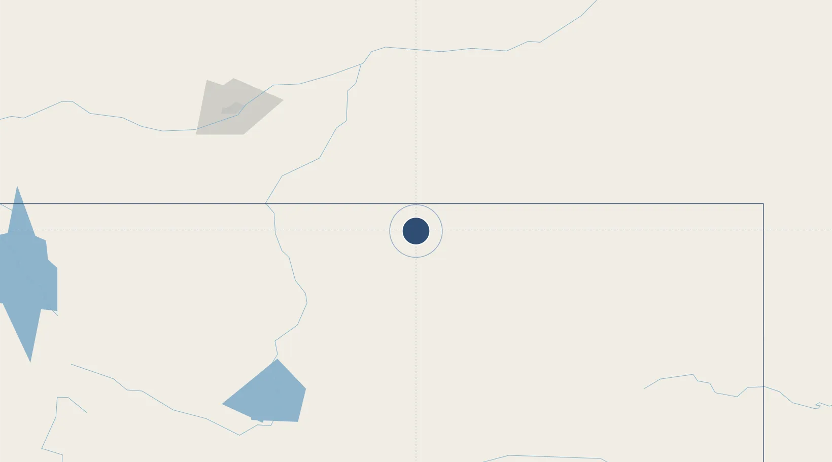
44.7692°, -106.9800°
8,301 ft
Longest runway
2
Runways
4,021 ft
Elevation
Runway & Layout

Radio Frequencies
ASOS
135.175 MHz
CNTR
127.75 MHz
SALT LAKE CITY CNTR
RDO
122.5 MHz
CASPER RDO
UNIC
123 MHz
CTAF/UNICOM
Navaids
SHR VORTAC Sheridan 115.30 MHz
Runways · 2
| Runway | Dimensions | Surface | True heading | Lit |
|---|---|---|---|---|
| 15/33 | 8,301 × 100ft | Asphalt | 156° | ✓ |
| 06/24 | 5,039 × 75ft | Asphalt | 068° | ✓ |
Airport Specifications
IATA code
SHR
ICAO code
KSHR
Airport class
Medium airport
Scheduled service
Yes
Runway surface
Asphalt
Served city
Sheridan
Location
Nearby Logistics Neighbours
Airports
Ports
- 1The Dalles1116 km
- 2Duluth1174 km
- 3Superior1176 km
- 4Sacramento1385 km
- 5Courtland1406 km
Trade Zones
- 1FTZ No. 275 Lansing456 km
- 2FTZ No. 088 Great Falls459 km
- 3FTZ No. 274 Butte-Silver Bow481 km
- 4FTZ No. 298 Jefferson County579 km
- 5FTZ No. 123 Denver583 km
DatabookThe Record of Consolidated Knowledge
United States beyond logistics?