Medium airport · United States

Morristown Municipal AirportKMMU
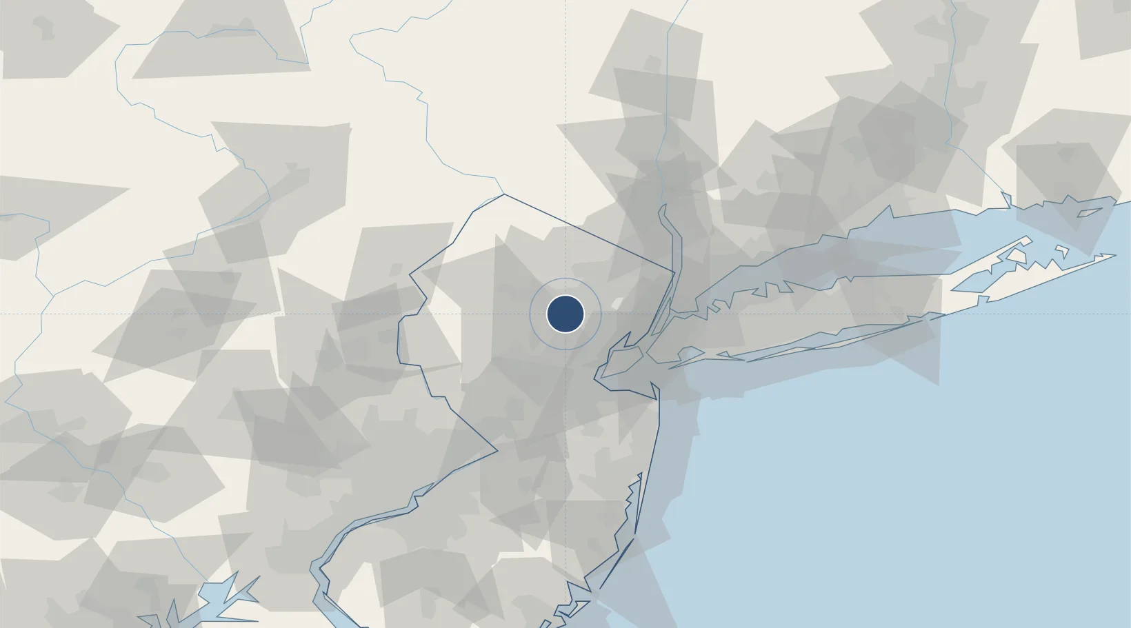
40.7991°, -74.4149°
5,998 ft
Longest runway
2
Runways
187 ft
Elevation

Runway & Layout

Morristown Municipal Airport runway & taxiway layout
Runway & taxiway layout — OpenStreetMap (ODbL) / OurAirports

Radio Frequencies

ATIS
124.25 MHz
TWR
118.1 MHz
GND
121.7 MHz
CLD
121.2 MHz
CLNC DEL
APP
127.6 MHz
NEW YORK APP
DEP
119.2 MHz
NEW YORK DEP
CTAF
118.1 MHz
OurAirports

Navaids

CAT NDB Chatham 254 kHz
MM NDB Moree 392 kHz
OurAirports

Runways · 2

RunwayDimensions SurfaceTrue headingLit
05/23 5,998 × 150ft Asphalt 036°
13/31 3,997 × 150ft Asphalt 114°
OurAirports

Airport Specifications

IATA code
MMU
OurAirports
ICAO code
KMMU
OurAirports
Airport class
Medium airport
OurAirports
Scheduled service
No
OurAirports
Runway surface
Asphalt
OurAirports
Served city
Morristown
OurAirports

Location

Location of KMMU
Natural Earth 10m (public domain) · New Jersey · KMMU · 40.80, -74.41GoogleOSMYandex

Nearby Logistics Neighbours

Airports
  1. 1Newark Liberty International Airport24 km
  2. 2Teterboro Airport30 km
  3. 3West 30th Street Heliport35 km
  4. 4East 34th Street Heliport38 km
  5. 5New York Skyports Inc Seaplane Base38 km
Nearest neighbours — logibook spatial index (haversine) over the source coordinates
Cities
  1. 1Birch Hills3 km
  2. 2Monroe4 km
  3. 3New Vernon9 km
  4. 4Lake Hiawatha10 km
  5. 5Short Hills11 km
Nearest neighbours — logibook spatial index (haversine) over the source coordinates
Ports
  1. 1Newark25 km
  2. 2Elizabethport26 km
  3. 3Bayway26 km
  4. 4Port Richmond SI29 km
  5. 5Carteret29 km
Nearest neighbours — logibook spatial index (haversine) over the source coordinates
Trade Zones
  1. 1FTZ No. 049 Newark Elizabeth24 km
  2. 2FTZ No. 001 New York City36 km
  3. 3FTZ No. 044 Morris County38 km
  4. 4FTZ No. 200 Mercer County69 km
  5. 5FTZ No. 037 Orange County78 km
Nearest neighbours — logibook spatial index (haversine) over the source coordinates
DatabookThe Record of Consolidated Knowledge
United States beyond logistics?
Browse databook

All Sources

AirportsOurAirports
Public domain
Portsthe NGA World Port Index
Public domain (US gov)
LocationsUN/LOCODE
UN/LOCODE — free
Trade Zonesthe World Bank SEZ database
CC BY 4.0
Trade ZonesOpen Zone Map
CC BY
InfrastructureOpenStreetMap
ODbL 1.0
← United States airports