UN/LOCODE hub · United States
USYLS
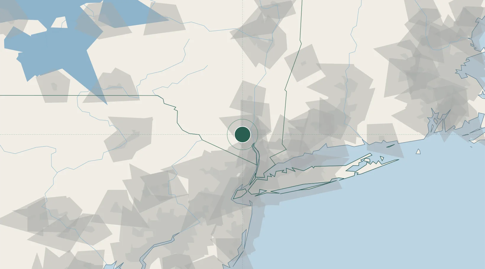
Salisbury Mills
41.4333°, -74.1167°
536
Population
2
Transport functions
Transport Functions
Rail
Road
Hub Profile
Place type
Populated place
Region
New York
Population
536
Time zone
America/New_York
Elevation
93 m
Location
Nearby Logistics Neighbours
Cities
- 1Rock Tavern6 km
- 2Woodbury9 km
- 3Central Valley11 km
- 4Campbell Hall13 km
- 5Beacon15 km
Ports
- 1Newburgh12 km
- 2Poughkeepsie33 km
- 3Kingston57 km
- 4Yonkers59 km
- 5Port Chester61 km
Airports
Trade Zones
DatabookThe Record of Consolidated Knowledge
United States beyond logistics?