UN/LOCODE hub · United States
USRJT

Roseton

41.5667°, -74.0000°
1
Transport functions

Transport Functions

Port
UN/LOCODE

Hub Profile

Place type
Populated place
GeoNames
Region
New York
GeoNames
Time zone
America/New_York
GeoNames
Elevation
2 m
GeoNames

Location

Location of USRJT
Natural Earth 10m (public domain) · New York · USRJT · 41.57, -74.00GoogleOSMYandex

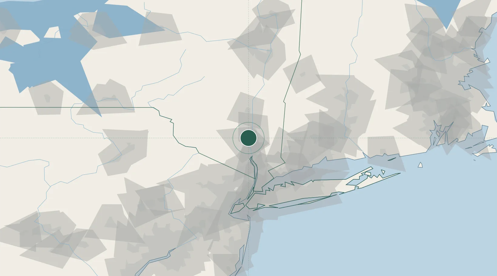
Nearby Logistics Neighbours

Cities
  1. 1Chelsea3 km
  2. 2Beacon6 km
  3. 3Fishkill11 km
  4. 4Gardiner17 km
  5. 5Salisbury Mills18 km
Nearest neighbours — logibook spatial index (haversine) over the source coordinates
Ports
  1. 1Newburgh7 km
  2. 2Poughkeepsie15 km
  3. 3Kingston41 km
  4. 4Port Chester69 km
  5. 5Greenwich69 km
Nearest neighbours — logibook spatial index (haversine) over the source coordinates
Airports
  1. 1New York Stewart International Airport11 km
  2. 2Dutchess County Airport12 km
  3. 3Danbury Municipal Airport48 km
  4. 4Westchester County Airport61 km
  5. 5Teterboro Airport80 km
Nearest neighbours — logibook spatial index (haversine) over the source coordinates
Trade Zones
  1. 1FTZ No. 037 Orange County79 km
  2. 2FTZ No. 076 Bridgeport80 km
  3. 3FTZ No. 162 New Haven94 km
  4. 4FTZ No. 001 New York City95 km
  5. 5FTZ No. 052 Suffolk County98 km
Nearest neighbours — logibook spatial index (haversine) over the source coordinates
DatabookThe Record of Consolidated Knowledge
United States beyond logistics?
Browse databook

All Sources

LocationsUN/LOCODE
UN/LOCODE — free
Portsthe NGA World Port Index
Public domain (US gov)
AirportsOurAirports
Public domain
Trade Zonesthe World Bank SEZ database
CC BY 4.0
Trade ZonesOpen Zone Map
CC BY
← United States locations