Foreign Trade Zone · United States

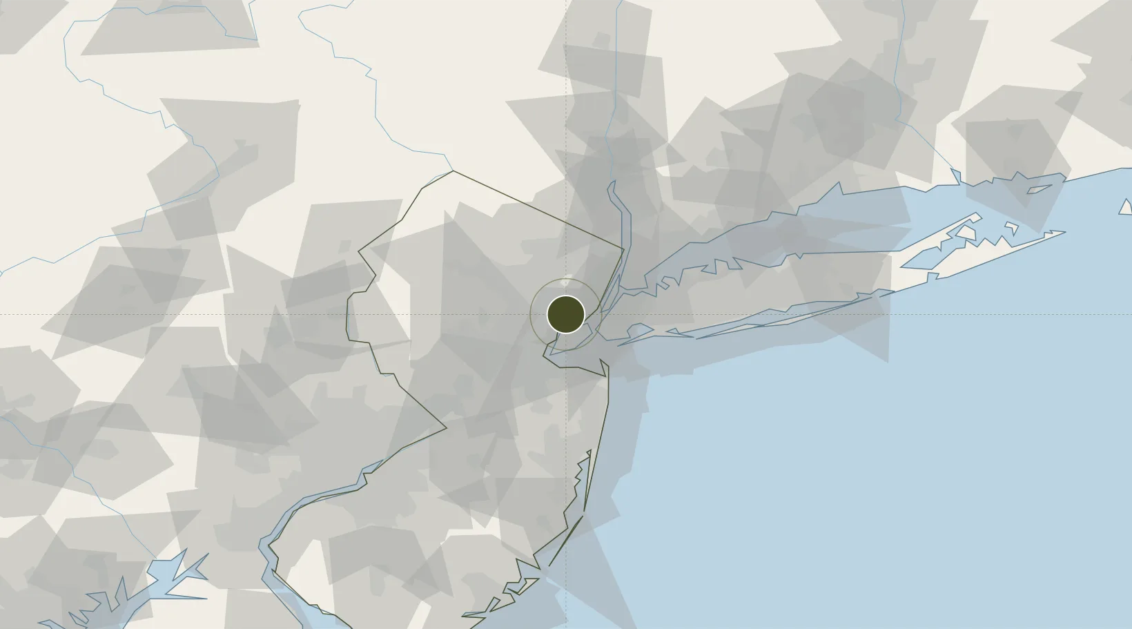
FTZ No. 049 Newark Elizabeth Active

40.6895°, -74.1767°
2.5 km
Nearest port
0.5 km
Nearest airport

Gateway access

Nearest neighbours — logibook spatial index (haversine) over the source coordinates

Zone profile

Zone type
Foreign Trade Zone
Open Zone Map
Region
New Jersey
Open Zone Map
Status
Active
Open Zone Map
Management
Public-Private Partnership
Open Zone Map
Operator
Port Authority of NY and NJ
Open Zone Map
Legal framework
Foreign-Trade Zones Act
Open Zone Map

Location

Location of ozm-4896
Natural Earth 10m (public domain) · New Jersey · ozm-4896 · 40.69, -74.18GoogleOSMYandex

Nearby Logistics Neighbours

Ports
  1. 1Newark3 km
  2. 2Elizabethport4 km
  3. 3Port Richmond SI6 km
  4. 4Bayonne7 km
  5. 5Bayway7 km
Nearest neighbours — logibook spatial index (haversine) over the source coordinates
Airports
  1. 1Newark Liberty International Airport1 km
  2. 2West 30th Street Heliport16 km
  3. 3New York Skyports Inc Seaplane Base18 km
  4. 4East 34th Street Heliport18 km
  5. 5Teterboro Airport20 km
Nearest neighbours — logibook spatial index (haversine) over the source coordinates
Cities
  1. 1Newark2 km
  2. 2Port Newark2 km
  3. 3New York4 km
  4. 4Staten Island5 km
  5. 5Howland Hook6 km
Nearest neighbours — logibook spatial index (haversine) over the source coordinates
Trade Zones
  1. 1FTZ No. 001 New York City14 km
  2. 2FTZ No. 044 Morris County61 km
  3. 3FTZ No. 235 Lakewood69 km
  4. 4FTZ No. 200 Mercer County73 km
  5. 5FTZ No. 052 Suffolk County86 km
Nearest neighbours — logibook spatial index (haversine) over the source coordinates
DatabookThe Record of Consolidated Knowledge
United States beyond logistics?
Browse databook

All Sources

Trade ZonesOpen Zone Map
CC BY
Portsthe NGA World Port Index
Public domain (US gov)
AirportsOurAirports
Public domain
LocationsUN/LOCODE
UN/LOCODE — free
← United States trade zones