Medium airport · United States
Westchester County AirportKHPN
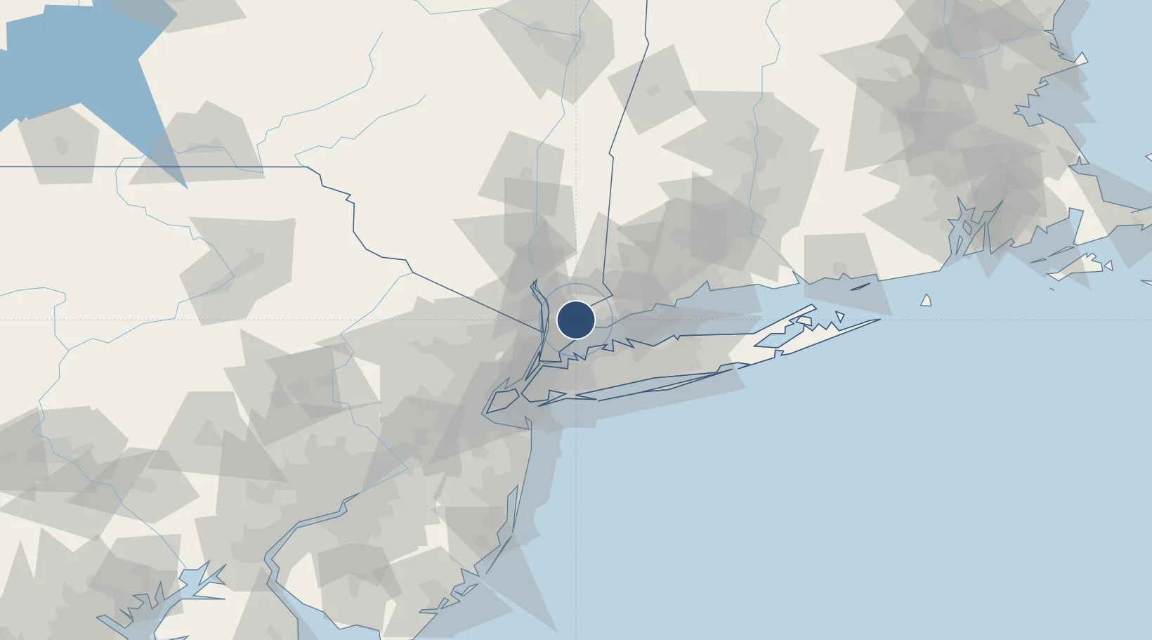
41.0670°, -73.7076°
6,549 ft
Longest runway
2
Runways
439 ft
Elevation
Runway & Layout

Radio Frequencies
ATIS
133.8 MHz
TWR
118.575 MHz
GND
121.825 MHz
CLD
127.25 MHz
CLNC DEL
APP
120.8 MHz
NEW YORK APP
DEP
120.55 MHz
NEW YORK DEP
CTAF
118.575 MHz
UNIC
122.95 MHz
UNICOM
Navaids
HP NDB Hestr 281 kHz
Runways · 2
| Runway | Dimensions | Surface | True heading | Lit |
|---|---|---|---|---|
| 16/34 | 6,549 × 150ft | Asphalt | 150° | ✓ |
| 11/29 | 4,451 × 150ft | Asphalt | 102° | ✓ |
Airport Specifications
IATA code
HPN
ICAO code
KHPN
Airport class
Medium airport
Scheduled service
Yes
Runway surface
Asphalt
Served city
White Plains
Location
Nearby Logistics Neighbours
Airports
- 1LaGuardia Airport35 km
- 2Teterboro Airport38 km
- 3Danbury Municipal Airport39 km
- 4East 34th Street Heliport42 km
- 5West 30th Street Heliport43 km
Cities
- 1Valhalla5 km
- 2West Harrison5 km
- 3North White Plains5 km
- 4Thornwood7 km
- 5Chappaqua10 km
Ports
- 1Port Chester8 km
- 2Greenwich10 km
- 3Stamford14 km
- 4Yonkers22 km
- 5Norwalk25 km
Trade Zones
DatabookThe Record of Consolidated Knowledge
United States beyond logistics?