Medium airport · United States

Teterboro AirportKTEB
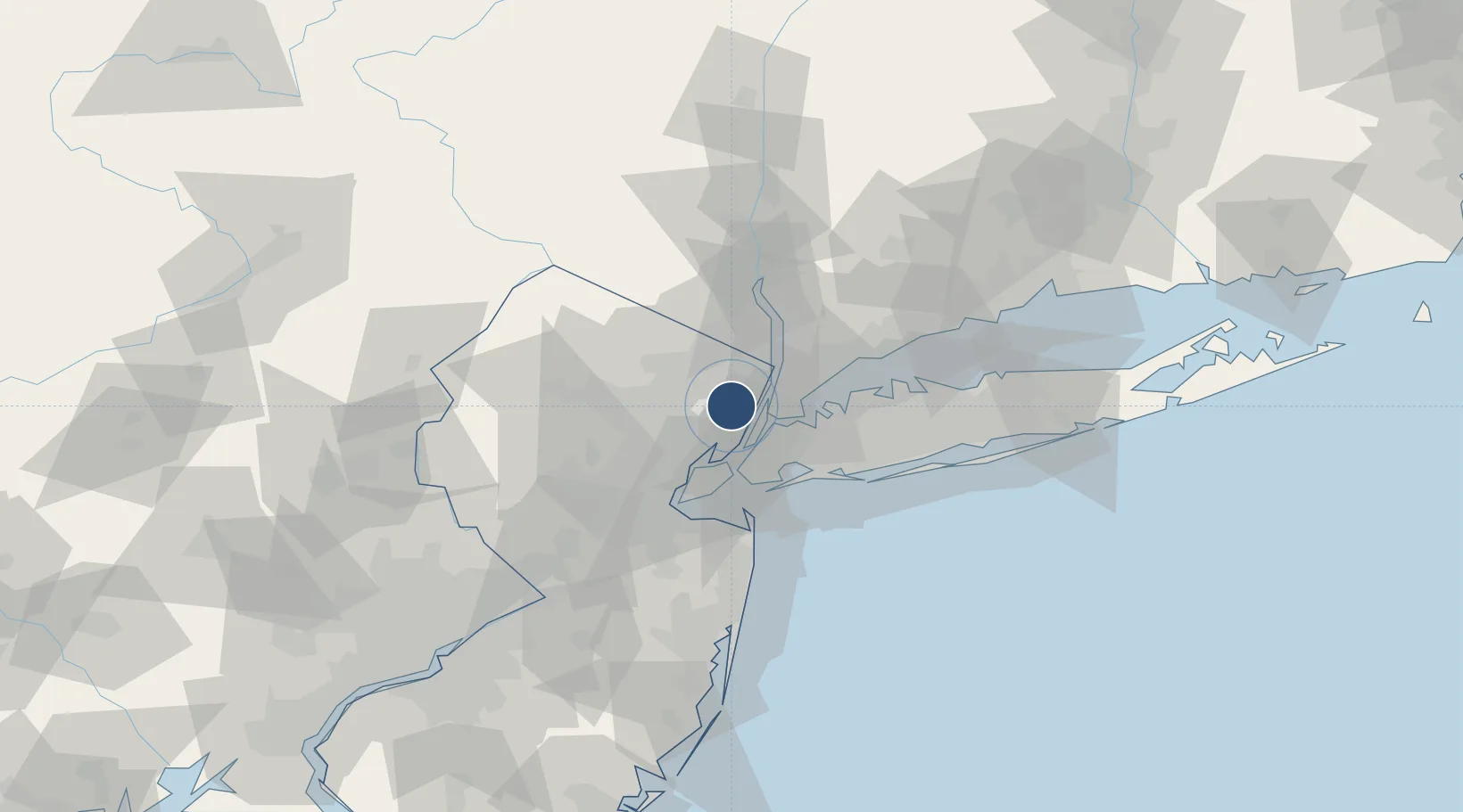
40.8501°, -74.0608°
6,997 ft
Longest runway
2
Runways
9 ft
Elevation

Runway & Layout

Teterboro Airport runway & taxiway layout
Runway & taxiway layout — OpenStreetMap (ODbL) / OurAirports

Radio Frequencies

ATIS
132.025 MHz
TWR
119.5 MHz
Teterboro Tower
TWR
125.1 MHz
Teterboro Tower, alternate frequency
GND
121.9 MHz
Teterboro Ground
CLD
128.05 MHz
Teterboro Clearance
APP
127.6 MHz
New York Approach
DEP
119.2 MHz
New York Departures, alternate frequency
DEP
126.7 MHz
New York Departures
OPS
130.575 MHz
ARPT OPS
RDO
122.2 MHz
Millville Radio, alternate frequency
RDO
122.65 MHz
Millville Radio
OurAirports

Navaids

TE NDB Torby 214 kHz
TEB VOR-DME Teterboro 108.40 MHz
OurAirports

Runways · 2

RunwayDimensions SurfaceTrue headingLit
01/19 6,997 × 150ft Asphalt 003°
06/24 6,014 × 150ft Asphalt 048°
OurAirports

Airport Specifications

IATA code
TEB
OurAirports
ICAO code
KTEB
OurAirports
Airport class
Medium airport
OurAirports
Scheduled service
Yes
OurAirports
Runway surface
Asphalt
OurAirports
Served city
Teterboro
OurAirports

Location

Location of KTEB
Natural Earth 10m (public domain) · New Jersey · KTEB · 40.85, -74.06GoogleOSMYandex

Nearby Logistics Neighbours

Airports
  1. 1West 30th Street Heliport12 km
  2. 2East 34th Street Heliport14 km
  3. 3New York Skyports Inc Seaplane Base15 km
  4. 4LaGuardia Airport18 km
  5. 5Newark Liberty International Airport20 km
Nearest neighbours — logibook spatial index (haversine) over the source coordinates
Cities
  1. 1Hasbrouck Heights1 km
  2. 2Leonia7 km
  3. 3Fair View8 km
  4. 4Guttenberg9 km
  5. 5River Edge10 km
Nearest neighbours — logibook spatial index (haversine) over the source coordinates
Ports
  1. 1Edgewater8 km
  2. 2Weehawken10 km
  3. 3Hoboken12 km
  4. 4Jersey City15 km
  5. 5Yonkers16 km
Nearest neighbours — logibook spatial index (haversine) over the source coordinates
Trade Zones
  1. 1FTZ No. 001 New York City16 km
  2. 2FTZ No. 049 Newark Elizabeth20 km
  3. 3FTZ No. 044 Morris County67 km
  4. 4FTZ No. 052 Suffolk County73 km
  5. 5FTZ No. 076 Bridgeport82 km
Nearest neighbours — logibook spatial index (haversine) over the source coordinates
DatabookThe Record of Consolidated Knowledge
United States beyond logistics?
Browse databook

All Sources

AirportsOurAirports
Public domain
Portsthe NGA World Port Index
Public domain (US gov)
LocationsUN/LOCODE
UN/LOCODE — free
Trade Zonesthe World Bank SEZ database
CC BY 4.0
Trade ZonesOpen Zone Map
CC BY
InfrastructureOpenStreetMap
ODbL 1.0
← United States airports