Channel & Berth Profile
Pilotage, Tugs & Services
Pilotage compulsoryYES
Tug assistanceYES
Potable waterYES
Diesel bunkersYES
MedicalYES
Facilities & Capabilities
Container—
Ro-Ro—
Liquid bulk—
Dry bulk—
Oil terminal—
Break bulk—
Dry dock—
RepairsNO
Bunkering—
Rail linkYES
Dangerous cargo—
ISPS security—
Harbour Specifications
Harbour size
Small
Harbour type
River (Natural)
Shelter
Excellent
Water body
North Atlantic Ocean
Tidal range
0.3 m
Overhead limit
No
Pilotage
Yes
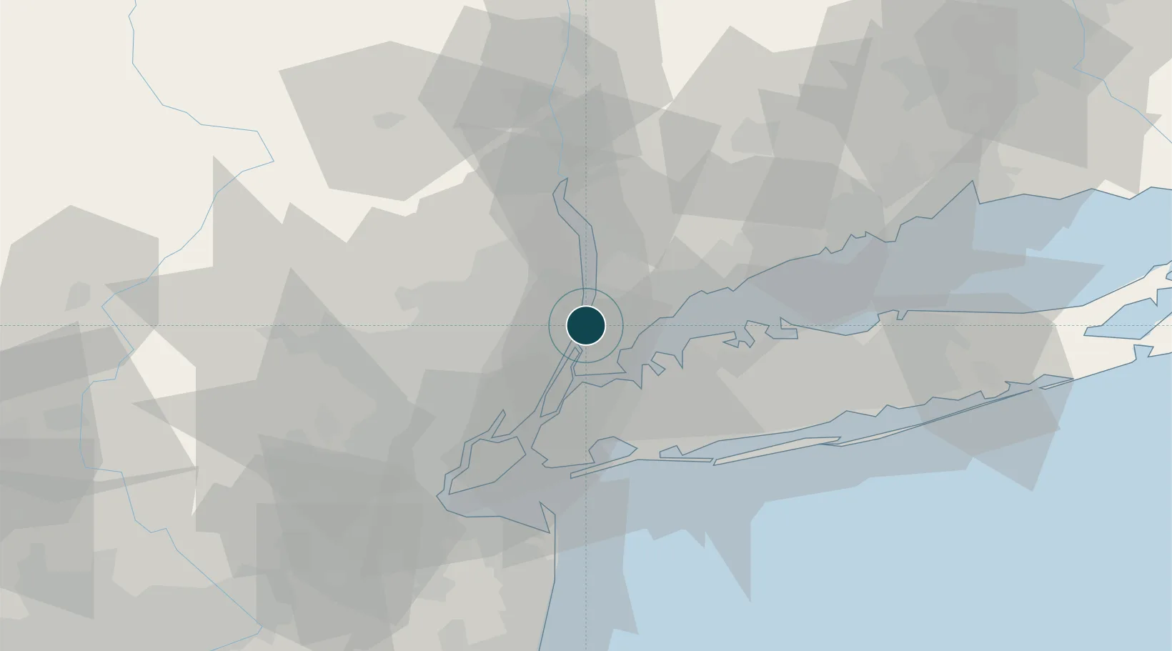
Location
Nearby Logistics Neighbours
Ports
- 1City Island14 km
- 2Edgewater15 km
- 3Port Chester21 km
- 4Weehawken21 km
- 5Hoboken23 km
Cities
- 1Alpine3 km
- 2Demarest6 km
- 3Tenafly6 km
- 4Dumont8 km
- 5River Edge11 km
Airports
- 1Teterboro Airport16 km
- 2LaGuardia Airport18 km
- 3West 30th Street Heliport22 km
- 4Westchester County Airport22 km
- 5East 34th Street Heliport22 km
Trade Zones
DatabookThe Record of Consolidated Knowledge
United States beyond logistics?