Transport Functions
Port
Road
Multimodal
Hub Profile
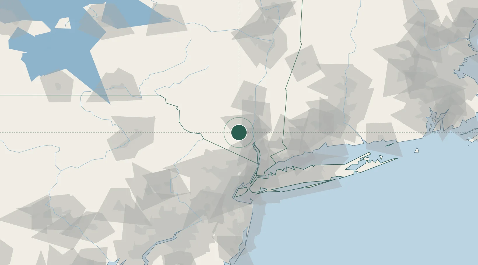
Place type
Populated place
Region
New York
Time zone
America/New_York
Elevation
127 m
Location
Nearby Logistics Neighbours
Cities
- 1Salisbury Mills6 km
- 2Campbell Hall7 km
- 3Goshen12 km
- 4Woodbury13 km
- 5Phillipsburg14 km
Ports
- 1Newburgh16 km
- 2Poughkeepsie34 km
- 3Kingston57 km
- 4Yonkers62 km
- 5Port Chester66 km
Airports
Trade Zones
DatabookThe Record of Consolidated Knowledge
United States beyond logistics?