Foreign Trade Zone · United States

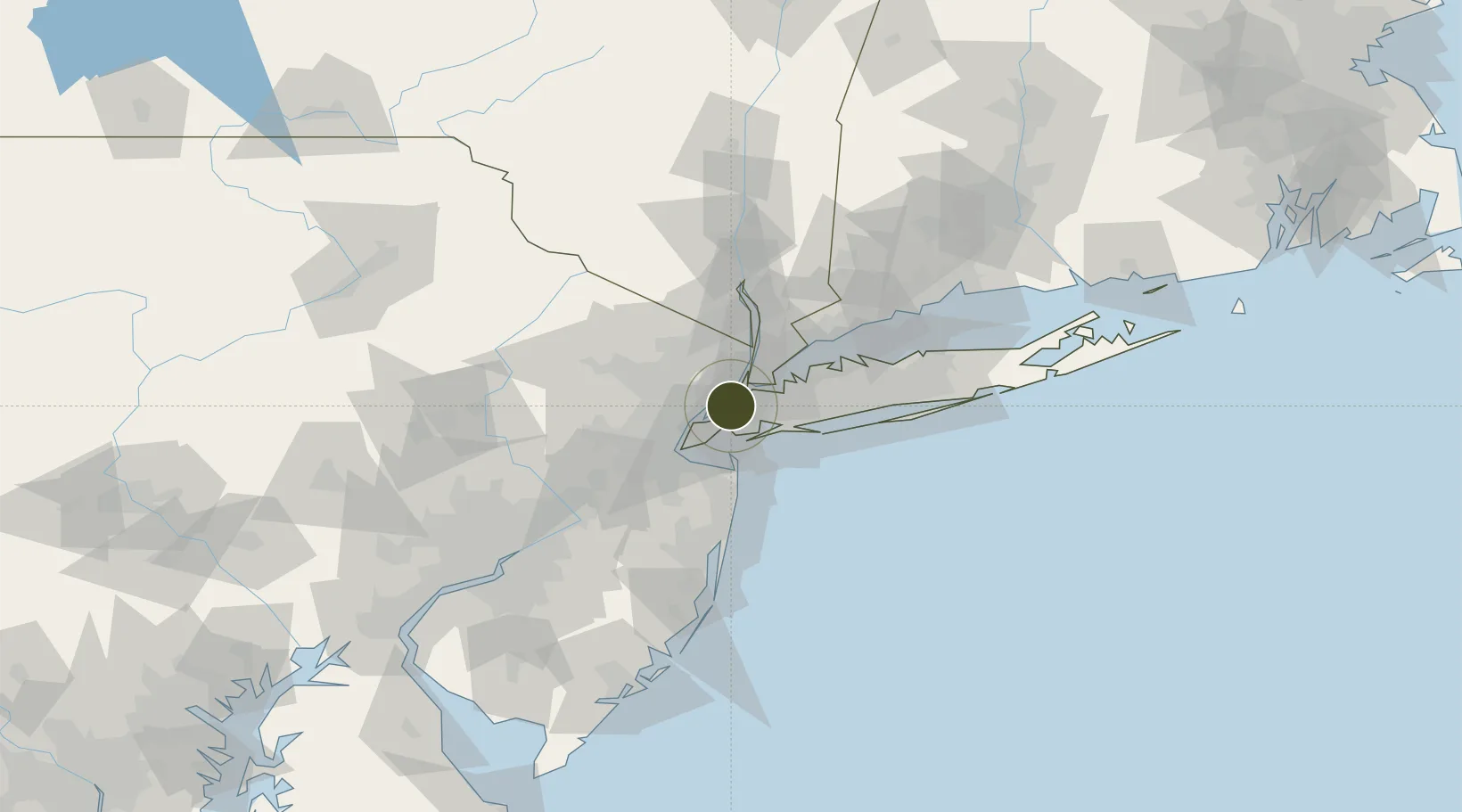
FTZ No. 001 New York City Active

40.7096°, -74.0108°
1.2 km
Nearest port
4.3 km
Nearest airport

Gateway access

Nearest neighbours — logibook spatial index (haversine) over the source coordinates

Zone profile

Zone type
Foreign Trade Zone
Open Zone Map
Region
New York
Open Zone Map
Status
Active
Open Zone Map
Management
Public
Open Zone Map
Operator
City of New York
Open Zone Map
Legal framework
Foreign-Trade Zones Act
Open Zone Map

Location

Location of ozm-4741
Natural Earth 10m (public domain) · New York · ozm-4741 · 40.71, -74.01GoogleOSMYandex

Nearby Logistics Neighbours

Ports
  1. 1New York City1 km
  2. 2Jersey City2 km
  3. 3Hoboken5 km
  4. 4Brooklyn5 km
  5. 5Weehawken6 km
Nearest neighbours — logibook spatial index (haversine) over the source coordinates
Airports
  1. 1New York Skyports Inc Seaplane Base4 km
  2. 2East 34th Street Heliport5 km
  3. 3West 30th Street Heliport5 km
  4. 4Newark Liberty International Airport14 km
  5. 5LaGuardia Airport14 km
Nearest neighbours — logibook spatial index (haversine) over the source coordinates
Cities
  1. 1Brooklyn/New York3 km
  2. 2Croxton4 km
  3. 3Jersey City8 km
  4. 4Linden Hill8 km
  5. 5Guttenberg8 km
Nearest neighbours — logibook spatial index (haversine) over the source coordinates
Trade Zones
  1. 1FTZ No. 049 Newark Elizabeth14 km
  2. 2FTZ No. 052 Suffolk County72 km
  3. 3FTZ No. 044 Morris County74 km
  4. 4FTZ No. 235 Lakewood74 km
  5. 5FTZ No. 200 Mercer County86 km
Nearest neighbours — logibook spatial index (haversine) over the source coordinates
DatabookThe Record of Consolidated Knowledge
United States beyond logistics?
Browse databook

All Sources

Trade ZonesOpen Zone Map
CC BY
Portsthe NGA World Port Index
Public domain (US gov)
AirportsOurAirports
Public domain
LocationsUN/LOCODE
UN/LOCODE — free
← United States trade zones