Transport Functions
Rail
Road
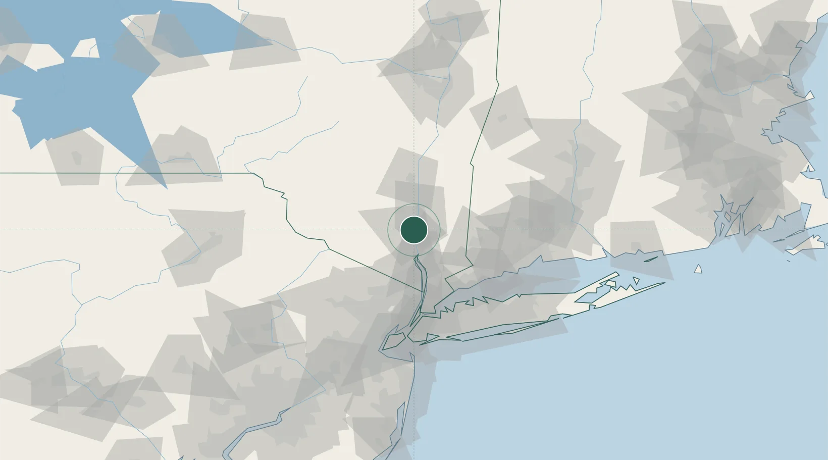
Hub Profile
Place type
Populated place
Region
New York
Population
14,347
Time zone
America/New_York
Elevation
42 m
Location
Nearby Logistics Neighbours
Cities
- 1Chelsea4 km
- 2Roseton6 km
- 3Fishkill8 km
- 4Salisbury Mills15 km
- 5West Point15 km
Ports
- 1Newburgh2 km
- 2Poughkeepsie21 km
- 3Kingston46 km
- 4Port Chester63 km
- 5Greenwich64 km
Airports
Trade Zones
- 1FTZ No. 076 Bridgeport76 km
- 2FTZ No. 037 Orange County79 km
- 3FTZ No. 001 New York City90 km
- 4FTZ No. 162 New Haven91 km
- 5FTZ No. 052 Suffolk County93 km
DatabookThe Record of Consolidated Knowledge
United States beyond logistics?