Channel & Berth Profile
Pilotage, Tugs & Services
Pilotage compulsoryNO
Pilotage availableNO
Tug assistanceNO
Potable waterYES
Diesel bunkersYES
MedicalYES
Facilities & Capabilities
Container—
Ro-Ro—
Liquid bulk—
Dry bulk—
Oil terminal—
Break bulk—
Dry dock—
RepairsNO
Bunkering—
Rail linkYES
Dangerous cargo—
ISPS security—
Harbour Specifications
Harbour size
Very Small
Harbour type
River (Natural)
Shelter
Good
Water body
North Atlantic Ocean
Tidal range
2.1 m
Overhead limit
Yes
Pilotage
No
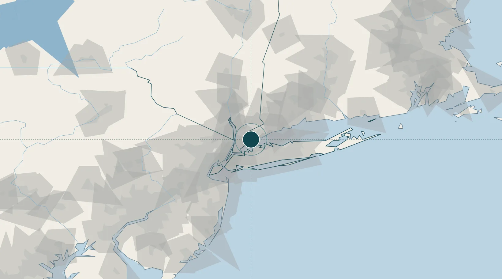
Location
Nearby Logistics Neighbours
Ports
- 1Greenwich5 km
- 2Stamford11 km
- 3City Island19 km
- 4Yonkers21 km
- 5Norwalk24 km
Cities
- 1Rye4 km
- 2Harrison5 km
- 3West Harrison8 km
- 4North White Plains10 km
- 5Valhalla11 km
Airports
- 1Westchester County Airport8 km
- 2LaGuardia Airport30 km
- 3Republic Airport37 km
- 4Teterboro Airport37 km
- 5East 34th Street Heliport39 km
Trade Zones
DatabookThe Record of Consolidated Knowledge
United States beyond logistics?