Medium airport · United States
Prescott Regional Airport - Ernest A. Love FieldKPRC
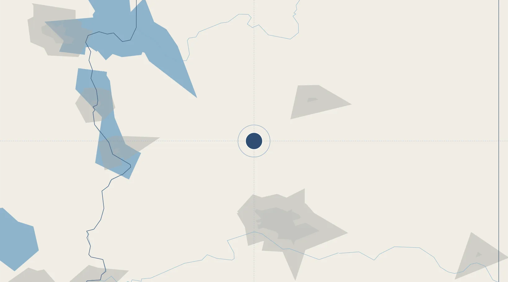
34.6535°, -112.4199°
7,619 ft
Longest runway
3
Runways
5,045 ft
Elevation
Runway & Layout

Radio Frequencies
ATIS
127.2 MHz
TWR
125.3 MHz
PRESCOTT TWR
GND
121.7 MHz
CTAF
125.3 MHz
CNTR
128.45 MHz
ALBUQUERQUE CNTR
RDO
122.2 MHz
PRESCOTT RDO
UNIC
122.95 MHz
UNICOM
Navaids
DRK VORTAC Drake 114.10 MHz
Runways · 3
| Runway | Dimensions | Surface | True heading | Lit |
|---|---|---|---|---|
| 03R/21L | 7,619 × 150ft | Asphalt | 041° | ✓ |
| 12/30 | 4,408 × 75ft | Asphalt | 136° | ✓ |
| 03L/21R | 4,395 × 60ft | Asphalt | 041° | ✓ |
Airport Specifications
IATA code
PRC
ICAO code
KPRC
Airport class
Medium airport
Scheduled service
Yes
Runway surface
Asphalt
Served city
Prescott
Location
Nearby Logistics Neighbours
Airports
- 1Flagstaff Pulliam Airport87 km
- 2Luke Air Force Base124 km
- 3Phoenix Sky Harbor International Airport141 km
- 4Grand Canyon National Park Airport147 km
- 5Kingman Airport154 km
Cities
- 1Humboldt24 km
- 2Drake35 km
- 3Cornville47 km
- 4Black Canyon City70 km
- 5Parks81 km
Ports
- 1San Diego491 km
- 2Ensenada499 km
- 3Rosarito503 km
- 4Newport Beach517 km
- 5Long Beach539 km
Trade Zones
- 1FTZ No. 277 Western Maricopa County126 km
- 2FTZ No. 075 Phoenix138 km
- 3FTZ No. 221 Mesa148 km
- 4FTZ No. 174 Pima County297 km
- 5FTZ No. 219 Yuma297 km
DatabookThe Record of Consolidated Knowledge
United States beyond logistics?