UN/LOCODE hub · United States
USC35
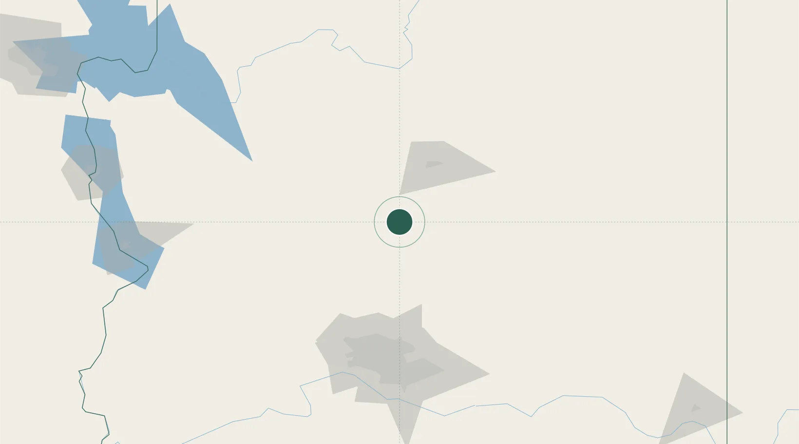
Cornville
34.7167°, -111.9167°
3,280
Population
2
Transport functions
Transport Functions
Port
Road
Hub Profile
Place type
Populated place
Region
Arizona
Population
3,280
Time zone
America/Phoenix
Elevation
1,010 m
Location
Nearby Logistics Neighbours
Cities
- 1Humboldt38 km
- 2Drake50 km
- 3Bellemont58 km
- 4Parks61 km
- 5Black Canyon City75 km
Ports
- 1San Diego535 km
- 2Ensenada541 km
- 3Rosarito547 km
- 4Newport Beach564 km
- 5Long Beach586 km
Airports
Trade Zones
- 1FTZ No. 277 Western Maricopa County135 km
- 2FTZ No. 075 Phoenix142 km
- 3FTZ No. 221 Mesa145 km
- 4FTZ No. 174 Pima County285 km
- 5FTZ No. 219 Yuma335 km
DatabookThe Record of Consolidated Knowledge
United States beyond logistics?