Large airport · United States
Phoenix Sky Harbor International AirportKPHX
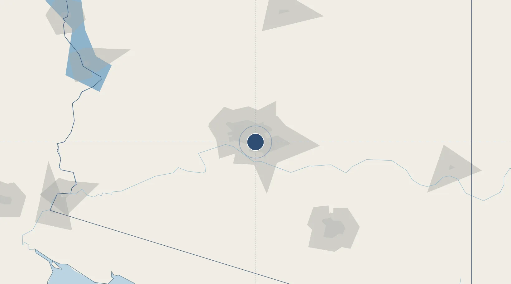
33.4353°, -112.0059°
11,489 ft
Longest runway
3
Runways
1,135 ft
Elevation
Runway & Layout

Radio Frequencies
ATIS
127.575 MHz
TWR
118.7 MHz
RWAY 08-26
TWR
120.9 MHz
RWAY 07-25
GND
119.75 MHz
NORTH
GND
132.55 MHz
SOUTH
CLD
118.1 MHz
CLNC DEL
A/D
119.2 MHz
319-057° 7500' AND ABOVE
A/D
120.7 MHz
319-057° BELOW 7500'
A/D
123.7 MHz
139-191° BELOW 8500'
A/D
124.1 MHz
192-263° 7500-12500'
A/D
124.9 MHz
058-118° BELOW 10,500'
A/D
126.8 MHz
119-138° ABOVE 14,500'
A/D
128.65 MHz
340-079° ABOVE 5500' INITIAL CONTACT
POST
140 MHz
ANG COMD POST
RDO
122.2 MHz
PRESCOTT RDO
UNIC
122.95 MHz
UNICOM
Runways · 3
| Runway | Dimensions | Surface | True heading | Lit |
|---|---|---|---|---|
| 08/26 | 11,489 × 150ft | Concrete | 090° | ✓ |
| 07L/25R | 10,300 × 150ft | Asphalt | 090° | ✓ |
| 07R/25L | 7,800 × 150ft | Concrete | 090° | ✓ |
Airport Specifications
IATA code
PHX
ICAO code
KPHX
Airport class
Large airport
Scheduled service
Yes
Runway surface
Concrete
Served city
Phoenix
Location
Nearby Logistics Neighbours
Airports
Cities
- 1Paradise Valley12 km
- 2Scottsdale14 km
- 3Higley31 km
- 4Litchfield Park34 km
- 5El Mirage35 km
Ports
- 1Ensenada467 km
- 2San Diego489 km
- 3Rosarito490 km
- 4Newport Beach547 km
- 5Long Beach573 km
Trade Zones
- 1FTZ No. 075 Phoenix7 km
- 2FTZ No. 221 Mesa16 km
- 3FTZ No. 277 Western Maricopa County26 km
- 4FTZ No. 174 Pima County162 km
- 5FTZ No. 060 Nogales253 km
DatabookThe Record of Consolidated Knowledge
United States beyond logistics?