Transport Functions
Port
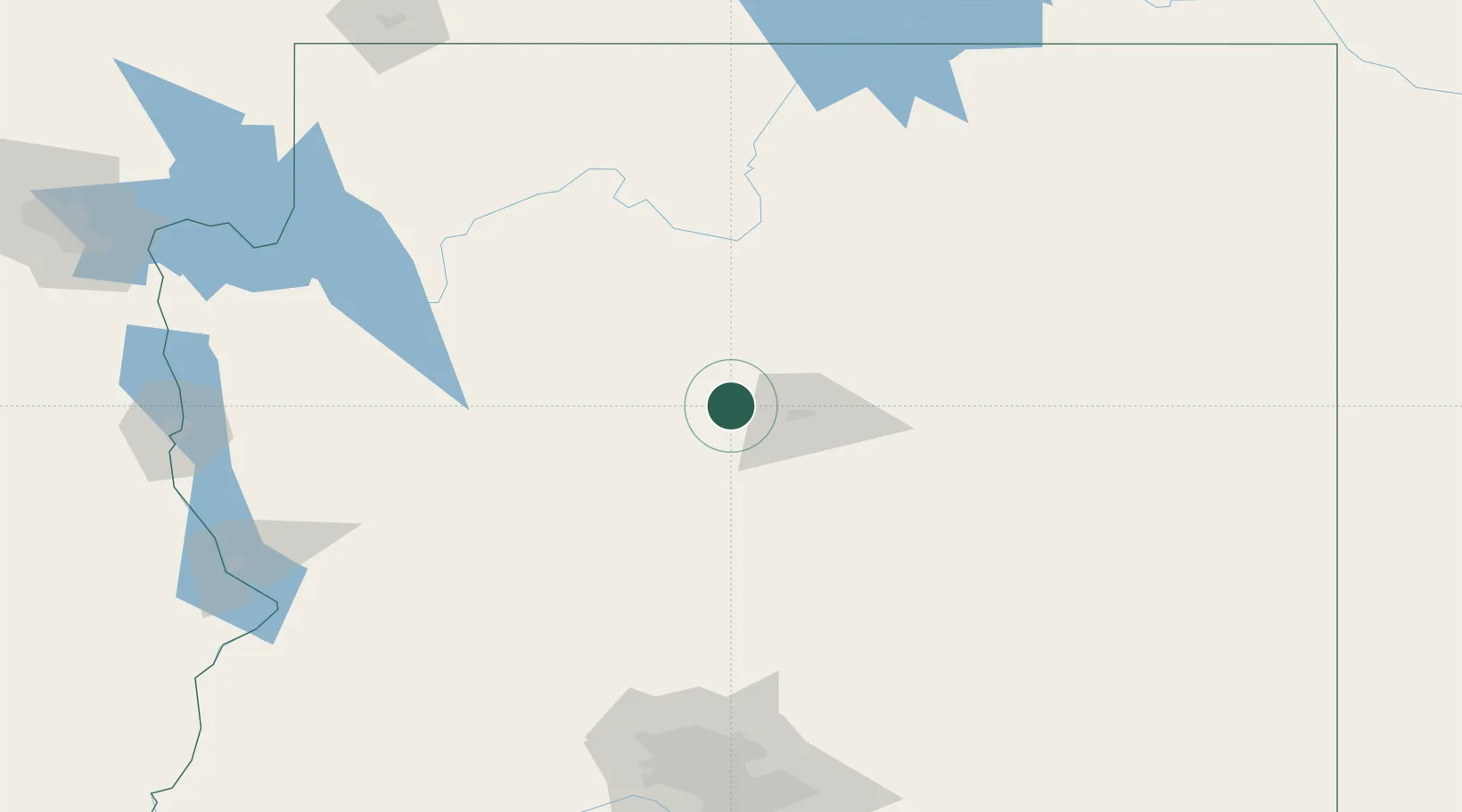
Hub Profile
Place type
Populated place
Region
Arizona
Population
1,188
Time zone
America/Phoenix
Elevation
2,158 m
Location
Nearby Logistics Neighbours
Ports
- 1San Diego560 km
- 2Rosarito575 km
- 3Ensenada575 km
- 4Newport Beach576 km
- 5Long Beach595 km
Airports
Trade Zones
- 1FTZ No. 277 Western Maricopa County195 km
- 2FTZ No. 075 Phoenix203 km
- 3FTZ No. 221 Mesa206 km
- 4FTZ No. 174 Pima County344 km
- 5FTZ No. 219 Yuma376 km
DatabookThe Record of Consolidated Knowledge
United States beyond logistics?