Transport Functions
Multimodal
Hub Profile
Place type
Populated place
Region
Arizona
Time zone
America/Phoenix
Elevation
1,391 m
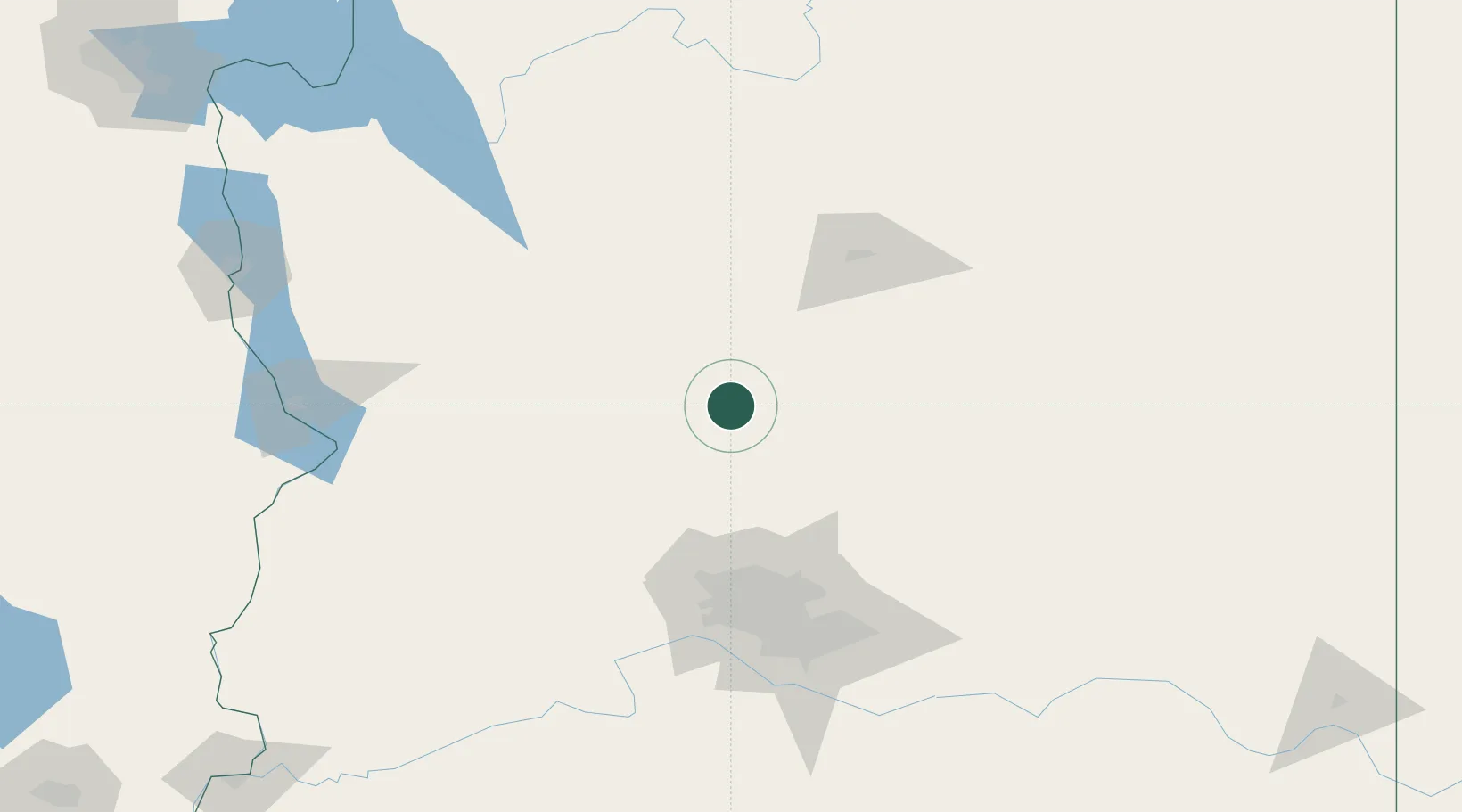
Location
Nearby Logistics Neighbours
Cities
- 1Cornville38 km
- 2Black Canyon City49 km
- 3Drake53 km
- 4New River66 km
- 5Wickenburg75 km
Ports
- 1San Diego499 km
- 2Ensenada503 km
- 3Rosarito510 km
- 4Newport Beach531 km
- 5Long Beach554 km
Airports
Trade Zones
- 1FTZ No. 277 Western Maricopa County108 km
- 2FTZ No. 075 Phoenix118 km
- 3FTZ No. 221 Mesa126 km
- 4FTZ No. 174 Pima County274 km
- 5FTZ No. 219 Yuma297 km
DatabookThe Record of Consolidated Knowledge
United States beyond logistics?