Medium airport · United States
Luke Air Force BaseKLUF
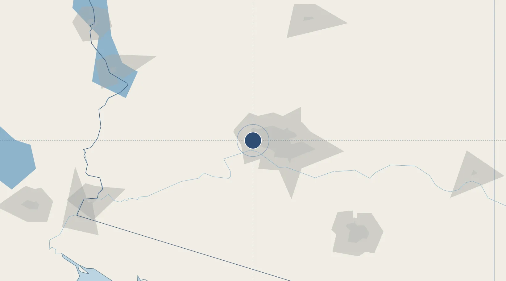
33.5350°, -112.3830°
10,000 ft
Longest runway
2
Runways
1,085 ft
Elevation
Runway & Layout

Radio Frequencies
ATIS
134.925 MHz
TWR
119.1 MHz
GND
133.175 MHz
CLD
126.25 MHz
CLNC DEL
A/D
120.7 MHz
APP/DEP
PMSV
26.74 MHz
PMSV METRO
POST
34.94 MHz
COMD POST
PTD
37.22 MHz
Navaids
LUF TACAN Luke 113.00 MHz
Runways · 2
| Runway | Dimensions | Surface | True heading | Lit |
|---|---|---|---|---|
| 03L/21R | 10,000 × 150ft | Asphalt | 043° | ✓ |
| 03R/21L | 9,912 × 150ft | Concrete | 043° | ✓ |
Airport Specifications
IATA code
LUF
ICAO code
KLUF
Airport class
Medium airport
Scheduled service
No
Runway surface
Asphalt
Served city
Glendale
Location
Nearby Logistics Neighbours
Airports
Cities
- 1Litchfield Park4 km
- 2El Mirage11 km
- 3Paradise Valley40 km
- 4Scottsdale47 km
- 5New River48 km
Ports
- 1Ensenada439 km
- 2San Diego456 km
- 3Rosarito459 km
- 4Newport Beach511 km
- 5Long Beach537 km
Trade Zones
- 1FTZ No. 277 Western Maricopa County11 km
- 2FTZ No. 075 Phoenix30 km
- 3FTZ No. 221 Mesa53 km
- 4FTZ No. 174 Pima County193 km
- 5FTZ No. 219 Yuma227 km
DatabookThe Record of Consolidated Knowledge
United States beyond logistics?