UN/LOCODE hub · United States
USZA7
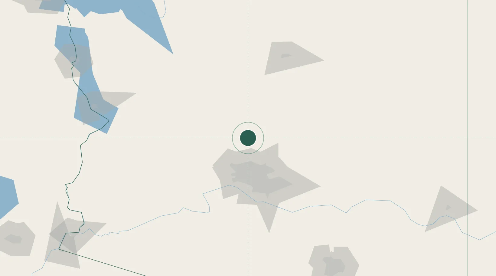
Black Canyon City
34.0667°, -112.1500°
2,837
Population
1
Transport functions
Transport Functions
Multimodal
Hub Profile
Place type
Populated place
Region
Arizona
Population
2,837
Time zone
America/Phoenix
Elevation
602 m
Location
Nearby Logistics Neighbours
Cities
- 1New River17 km
- 2Cave Creek33 km
- 3Humboldt49 km
- 4El Mirage52 km
- 5Wickenburg55 km
Ports
- 1Ensenada485 km
- 2San Diego491 km
- 3Rosarito498 km
- 4Newport Beach533 km
- 5Long Beach558 km
Airports
Trade Zones
- 1FTZ No. 277 Western Maricopa County60 km
- 2FTZ No. 075 Phoenix69 km
- 3FTZ No. 221 Mesa78 km
- 4FTZ No. 174 Pima County228 km
- 5FTZ No. 219 Yuma274 km
DatabookThe Record of Consolidated Knowledge
United States beyond logistics?