Medium airport · United States

Flagstaff Pulliam AirportKFLG

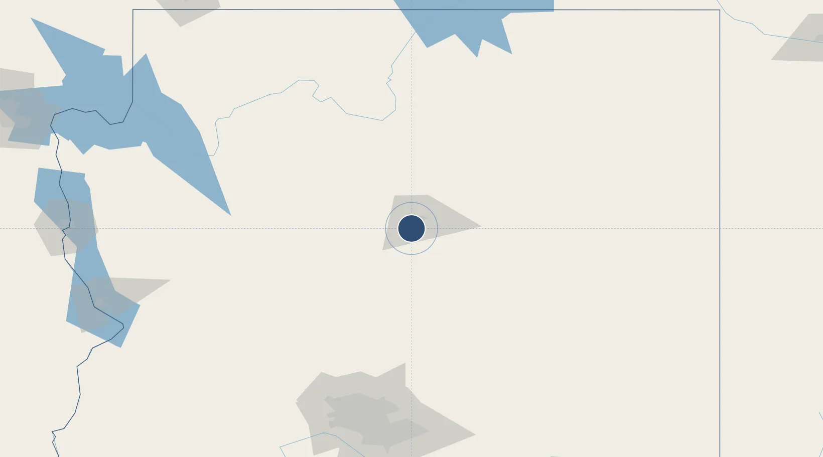
35.1398°, -111.6698°
8,800 ft
Longest runway
1
Runways
7,014 ft
Elevation

Runway & Layout

Flagstaff Pulliam Airport runway & taxiway layout
Runway & taxiway layout — OpenStreetMap (ODbL) / OurAirports

Radio Frequencies

ATIS
125.8 MHz
TWR
134.55 MHz
GND
121.9 MHz
CTAF
134.55 MHz
CNTR
124.5 MHz
ALBUQUERQUE CNTR
RDO
122.3 MHz
PRESCOTT RDO
UNIC
122.95 MHz
UNICOM
OurAirports

Navaids

FLG VOR-DME Flagstaff 113.85 MHz
PUU NDB Pulliam 379 kHz
OurAirports

Runways · 1

RunwayDimensions SurfaceTrue headingLit
03/21 8,800 × 150ft Asphalt 041°
OurAirports

Airport Specifications

IATA code
FLG
OurAirports
ICAO code
KFLG
OurAirports
Airport class
Medium airport
OurAirports
Scheduled service
Yes
OurAirports
Runway surface
Asphalt
OurAirports
Served city
Flagstaff
OurAirports

Location

Location of KFLG
Natural Earth 10m (public domain) · Arizona · KFLG · 35.14, -111.67GoogleOSMYandex

Nearby Logistics Neighbours

Airports
  1. 1Winslow Lindbergh Regional Airport87 km
  2. 2Prescott Regional Airport - Ernest A. Love Field87 km
  3. 3Grand Canyon National Park Airport100 km
  4. 4Show Low Regional Airport181 km
  5. 5Luke Air Force Base190 km
Nearest neighbours — logibook spatial index (haversine) over the source coordinates
Cities
  1. 1Bellemont18 km
  2. 2Parks29 km
  3. 3Cornville52 km
  4. 4Drake66 km
  5. 5Humboldt88 km
Nearest neighbours — logibook spatial index (haversine) over the source coordinates
Ports
  1. 1San Diego576 km
  2. 2Ensenada587 km
  3. 3Rosarito589 km
  4. 4Newport Beach596 km
  5. 5Long Beach616 km
Nearest neighbours — logibook spatial index (haversine) over the source coordinates
Trade Zones
  1. 1FTZ No. 277 Western Maricopa County187 km
  2. 2FTZ No. 075 Phoenix192 km
  3. 3FTZ No. 221 Mesa192 km
  4. 4FTZ No. 174 Pima County324 km
  5. 5FTZ No. 219 Yuma383 km
Nearest neighbours — logibook spatial index (haversine) over the source coordinates
DatabookThe Record of Consolidated Knowledge
United States beyond logistics?
Browse databook

All Sources

AirportsOurAirports
Public domain
Portsthe NGA World Port Index
Public domain (US gov)
LocationsUN/LOCODE
UN/LOCODE — free
Trade Zonesthe World Bank SEZ database
CC BY 4.0
Trade ZonesOpen Zone Map
CC BY
InfrastructureOpenStreetMap
ODbL 1.0
← United States airports