Large airport · United States
Tulsa International AirportKTUL
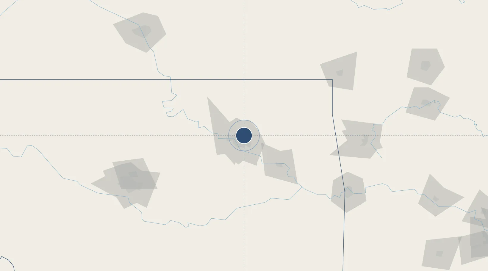
36.1971°, -95.8862°
10,000 ft
Longest runway
3
Runways
677 ft
Elevation
Runway & Layout

Radio Frequencies
ATIS
124.9 MHz
TWR
118.7 MHz
GND
121.9 MHz
CLD
134.05 MHz
CLNC DEL
A/D
119.1 MHz
APP/DEP
MISC
141.9 MHz
ANG OPS
OPS
46.9 MHz
ARNG OPS
RDO
122.2 MHz
MC ALESTER RDO
UNIC
122.95 MHz
UNICOM
Navaids
DW NDB Owaso 375 kHz
TU NDB Oillr 338 kHz
Runways · 3
| Runway | Dimensions | Surface | True heading | Lit |
|---|---|---|---|---|
| 18L/36R | 10,000 × 150ft | Concrete | 183° | ✓ |
| 08/26 | 7,376 × 150ft | Concrete | 089° | ✓ |
| 18R/36L | 6,101 × 100ft | Asphalt | 183° | ✓ |
Airport Specifications
IATA code
TUL
ICAO code
KTUL
Airport class
Large airport
Scheduled service
Yes
Runway surface
Concrete
Served city
Tulsa
Location
Nearby Logistics Neighbours
Airports
Cities
- 1Owasso8 km
- 2Collinsville19 km
- 3Jenks21 km
- 4Claremore28 km
- 5Sapulpa31 km
Ports
- 1Port Of Memphis532 km
- 2Beaumont700 km
- 3Lake Charles709 km
- 4Orange709 km
- 5Port Neches712 km
Trade Zones
- 1FTZ No. 053 Rogers County16 km
- 2FTZ No. 164 Muskogee66 km
- 3FTZ No. 106 Oklahoma City168 km
- 4FTZ No. 161 Sedgwick County235 km
- 5FTZ No. 227 Durant248 km
DatabookThe Record of Consolidated Knowledge
United States beyond logistics?