UN/LOCODE hub · United States
USVND
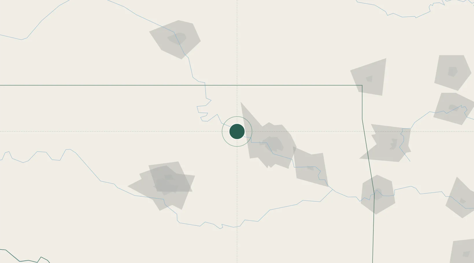
Cleveland
36.3167°, -96.4667°
3,216
Population
2
Transport functions
Transport Functions
Road
Multimodal
Hub Profile
Place type
Populated place
Region
Oklahoma
Population
3,216
Time zone
America/Chicago
Elevation
237 m
Location
Nearby Logistics Neighbours
Ports
- 1Port Of Memphis586 km
- 2Beaumont728 km
- 3Deer Park738 km
- 4Orange738 km
- 5Houston738 km
Airports
- 1Tulsa Riverside Airport53 km
- 2Tulsa International Airport54 km
- 3Stillwater Regional Airport58 km
- 4Ponca City Regional Airport73 km
- 5Vance Air Force Base130 km
Trade Zones
- 1FTZ No. 053 Rogers County55 km
- 2FTZ No. 164 Muskogee113 km
- 3FTZ No. 106 Oklahoma City134 km
- 4FTZ No. 161 Sedgwick County191 km
- 5FTZ No. 227 Durant257 km
DatabookThe Record of Consolidated Knowledge
United States beyond logistics?