Transport Functions
Rail
Road
Border Crossing
Hub Profile
Region
41
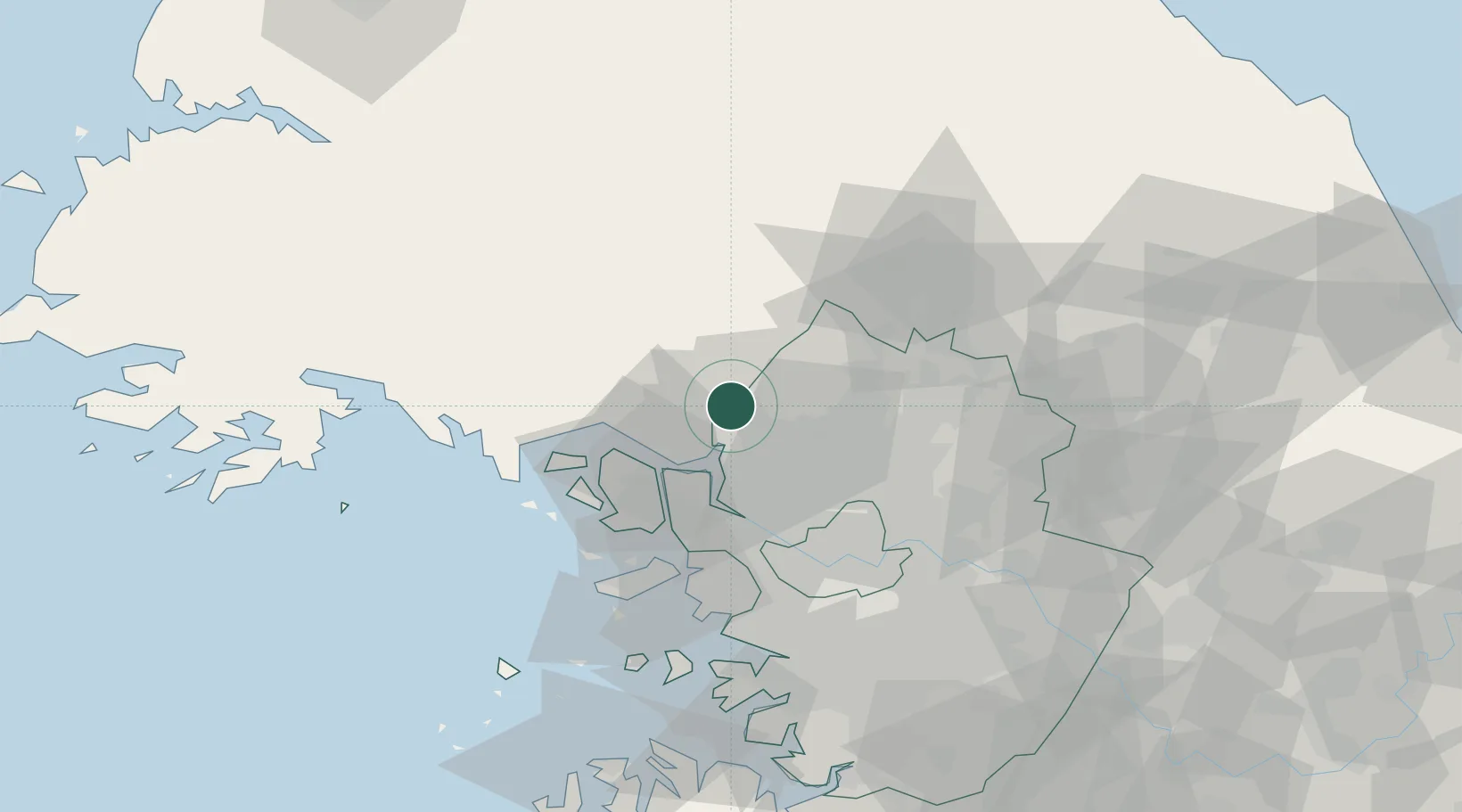
Location
Nearby Logistics Neighbours
Cities
- 1Munsan/Paju11 km
- 2Dorasan/Paju21 km
- 3Paju21 km
- 4Ilsan-dong28 km
- 5Ganghwa-gun/Incheon30 km
Ports
- 1Inchon53 km
- 2Haeju Hang89 km
- 3Pyeongtaek Hang104 km
- 4Daesan Hang106 km
- 5Kyomip'o131 km
Airports
- 1Gimpo International Airport42 km
- 2Incheon International Airport57 km
- 3Seoul Air Base (K-16)65 km
- 4Suwon Airport81 km
- 5Koksan 2 Highway Strip82 km
DatabookThe Record of Consolidated Knowledge
South Korea beyond logistics?