Medium airport · North Korea

Koksan Air BaseKP-0015
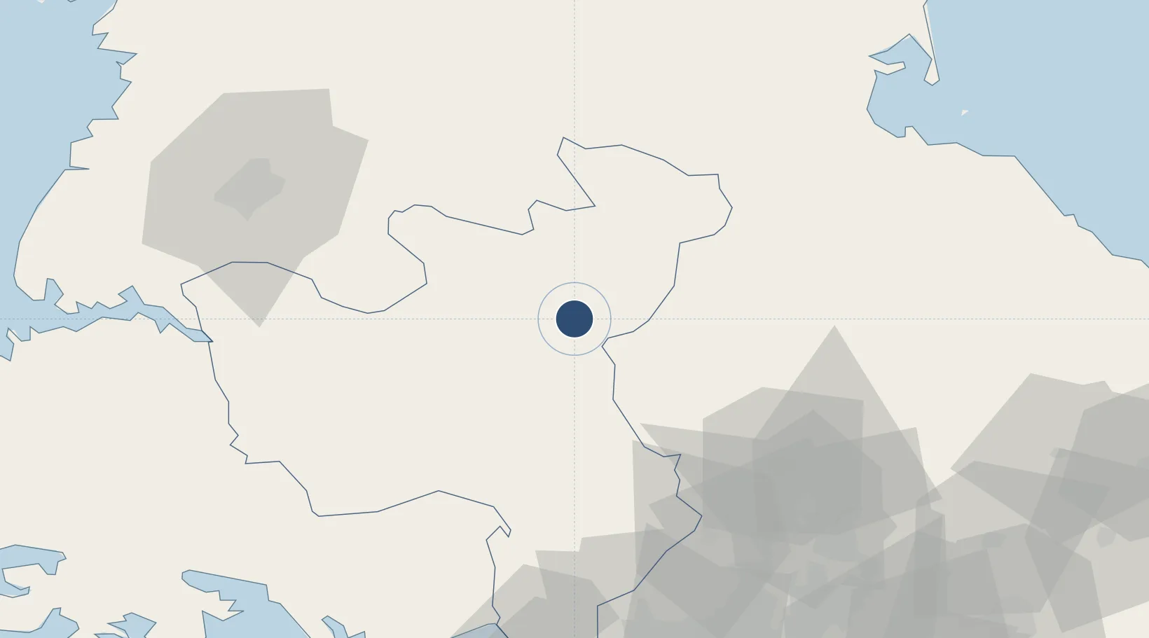
38.6902°, 126.6060°
8,200 ft
Longest runway
1
Runways
840 ft
Elevation

Runway & Layout

Koksan Air Base runway & taxiway layout
Runway & taxiway layout — OpenStreetMap (ODbL) / OurAirports

Runways · 1

RunwayDimensions SurfaceTrue headingLit
07/25 8,200 × 140ft Concrete 058°
OurAirports

Airport Specifications

Airport class
Medium airport
OurAirports
Scheduled service
No
OurAirports
Runway surface
Concrete
OurAirports
Served city
Koksan
OurAirports

Location

Location of KP-0015
Natural Earth 10m (public domain) · Hwanghae-bukto · KP-0015 · 38.69, 126.61GoogleOSMYandex

Nearby Logistics Neighbours

Airports
  1. 1Koksan 2 Highway Strip3 km
  2. 2Hwangju Airbase71 km
  3. 3Uthachi Highway Strip Airport72 km
  4. 4Wonsan Kalma International Airport93 km
  5. 5Pyongyang Sunan International Airport100 km
Nearest neighbours — logibook spatial index (haversine) over the source coordinates
Cities
  1. 1Cheorwon-gun72 km
  2. 2Panmoonjeom85 km
  3. 3Songnim89 km
  4. 4Munsan/Paju95 km
  5. 5Yeoncheon-gun98 km
Nearest neighbours — logibook spatial index (haversine) over the source coordinates
Ports
  1. 1Kyomip'o86 km
  2. 2Wonsan90 km
  3. 3Nampo105 km
  4. 4Haeju Hang110 km
  5. 5Inchon136 km
Nearest neighbours — logibook spatial index (haversine) over the source coordinates
Trade Zones
  1. 1Sinpyōng Tourist Development Zone20 km
  2. 2Baekhak Industrial Complex in Yeoncheon80 km
  3. 3Unjong Science and Technology Development Zone83 km
  4. 4Songnim Export Processing Zone84 km
  5. 5Kaesong Industrial Region85 km
Nearest neighbours — logibook spatial index (haversine) over the source coordinates
DatabookThe Record of Consolidated Knowledge
North Korea beyond logistics?
Browse databook

All Sources

AirportsOurAirports
Public domain
Portsthe NGA World Port Index
Public domain (US gov)
LocationsUN/LOCODE
UN/LOCODE — free
Trade Zonesthe World Bank SEZ database
CC BY 4.0
Trade ZonesOpen Zone Map
CC BY
InfrastructureOpenStreetMap
ODbL 1.0
← North Korea airports