Medium airport · North Korea

Koksan 2 Highway StripKP-0068
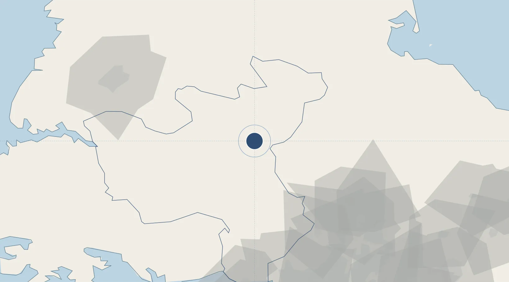
38.6635°, 126.5866°
3,550 ft
Longest runway
1
Runways
807 ft
Elevation

Runway & Layout

Koksan 2 Highway Strip runway & taxiway layout
Runway & taxiway layout — OpenStreetMap (ODbL) / OurAirports

Runways · 1

RunwayDimensions SurfaceTrue headingLit
12/30 3,550 × 33ft Asphalt
OurAirports

Airport Specifications

Airport class
Medium airport
OurAirports
Scheduled service
No
OurAirports
Runway surface
Asphalt
OurAirports
Served city
Koksan
OurAirports

Location

Location of KP-0068
Natural Earth 10m (public domain) · Hwanghae-bukto · KP-0068 · 38.66, 126.59GoogleOSMYandex

Nearby Logistics Neighbours

Airports
  1. 1Koksan Air Base3 km
  2. 2Hwangju Airbase69 km
  3. 3Uthachi Highway Strip Airport72 km
  4. 4Wonsan Kalma International Airport96 km
  5. 5Pyongyang Sunan International Airport101 km
Nearest neighbours — logibook spatial index (haversine) over the source coordinates
Cities
  1. 1Cheorwon-gun72 km
  2. 2Panmoonjeom82 km
  3. 3Songnim88 km
  4. 4Munsan/Paju92 km
  5. 5Yeoncheon-gun100 km
Nearest neighbours — logibook spatial index (haversine) over the source coordinates
Ports
  1. 1Kyomip'o85 km
  2. 2Wonsan93 km
  3. 3Nampo103 km
  4. 4Haeju Hang107 km
  5. 5Inchon133 km
Nearest neighbours — logibook spatial index (haversine) over the source coordinates
Trade Zones
  1. 1Sinpyōng Tourist Development Zone23 km
  2. 2Baekhak Industrial Complex in Yeoncheon77 km
  3. 3Kaesong Industrial Region82 km
  4. 4Unjong Science and Technology Development Zone83 km
  5. 5Songnim Export Processing Zone83 km
Nearest neighbours — logibook spatial index (haversine) over the source coordinates
DatabookThe Record of Consolidated Knowledge
North Korea beyond logistics?
Browse databook

All Sources

AirportsOurAirports
Public domain
Portsthe NGA World Port Index
Public domain (US gov)
LocationsUN/LOCODE
UN/LOCODE — free
Trade Zonesthe World Bank SEZ database
CC BY 4.0
Trade ZonesOpen Zone Map
CC BY
InfrastructureOpenStreetMap
ODbL 1.0
← North Korea airports