UN/LOCODE hub · United States
USYEC
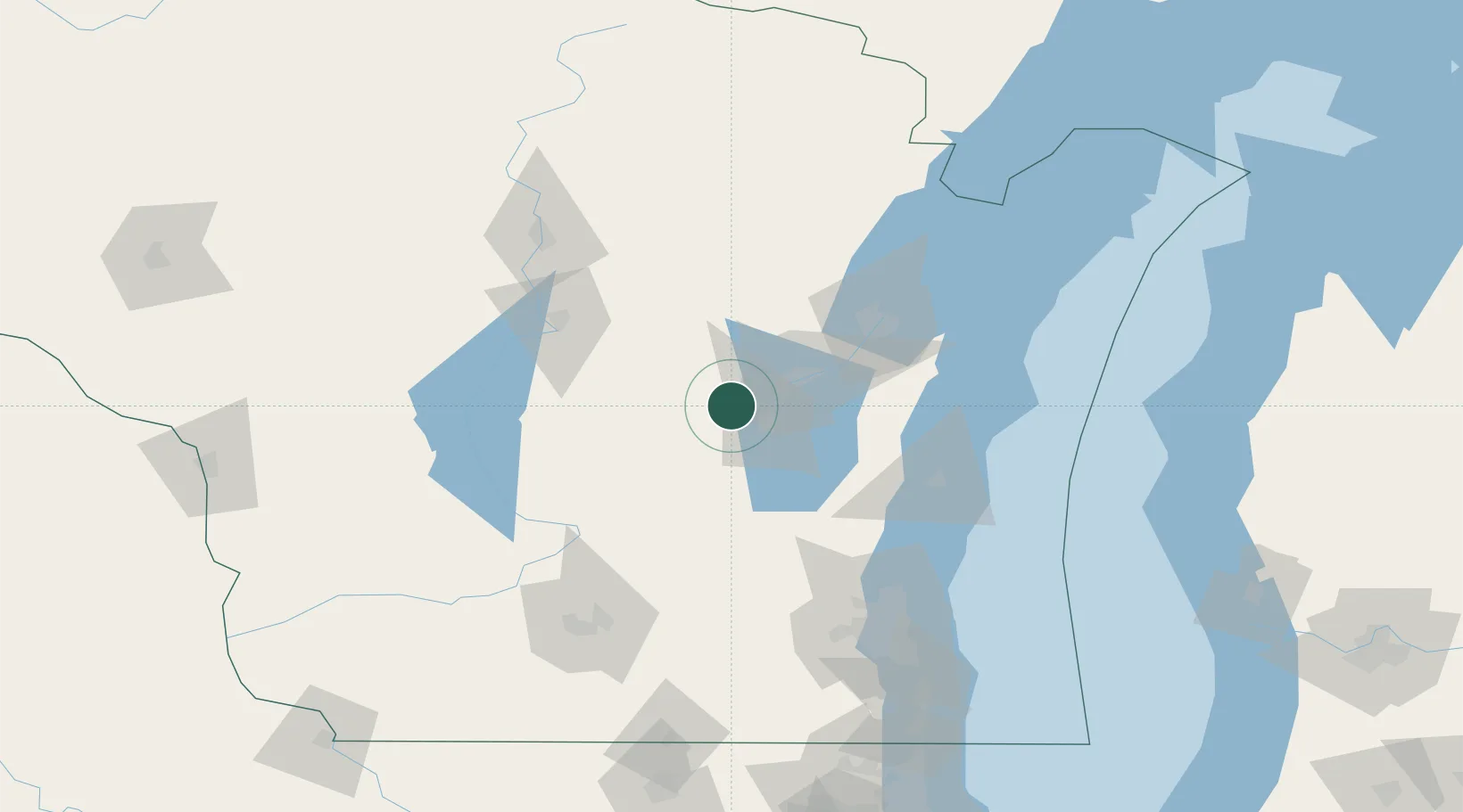
Winneconne
44.1167°, -88.7333°
2,445
Population
2
Transport functions
Transport Functions
Port
Road
Hub Profile
Place type
Populated place
Region
Wisconsin
Population
2,445
Time zone
America/Chicago
Elevation
231 m
Location
Nearby Logistics Neighbours
Cities
- 1Dale18 km
- 2Weyauwega27 km
- 3Grand Chute30 km
- 4Waupaca38 km
- 5King41 km
Ports
- 1Kaukauna42 km
- 2Green Bay72 km
- 3Manitowoc87 km
- 4Sheboygan92 km
- 5Two Rivers93 km
Airports
Trade Zones
- 1FTZ No. 167 Brown County52 km
- 2FTZ No. 041 Milwaukee128 km
- 3FTZ No. 266 Dane County140 km
- 4FTZ No. 019 Omaha184 km
- 5FTZ No. 176 Rockford211 km
DatabookThe Record of Consolidated Knowledge
United States beyond logistics?