Transport Functions
Port
Rail
Road
Multimodal
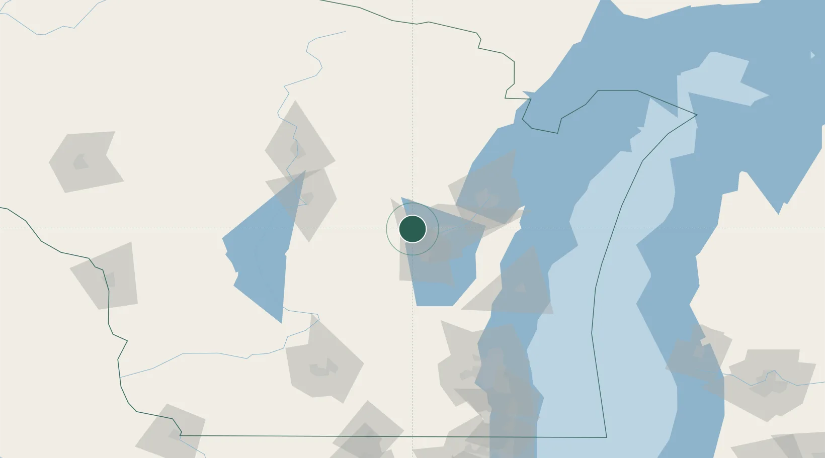
Hub Profile
Place type
Populated place
Region
Wisconsin
Population
528
Time zone
America/Chicago
Elevation
248 m
Location
Nearby Logistics Neighbours
Cities
- 1Winneconne18 km
- 2Grand Chute19 km
- 3Weyauwega21 km
- 4Bear Creek30 km
- 5Waupaca34 km
Ports
- 1Kaukauna32 km
- 2Green Bay59 km
- 3Manitowoc84 km
- 4Two Rivers89 km
- 5Kewaunee95 km
Airports
Trade Zones
- 1FTZ No. 167 Brown County37 km
- 2FTZ No. 041 Milwaukee142 km
- 3FTZ No. 266 Dane County157 km
- 4FTZ No. 019 Omaha188 km
- 5FTZ No. 189 Kent Ottawa/Muskegon Counties223 km
DatabookThe Record of Consolidated Knowledge
United States beyond logistics?