Small airport · United States

Mammoth Yosemite AirportKMMH

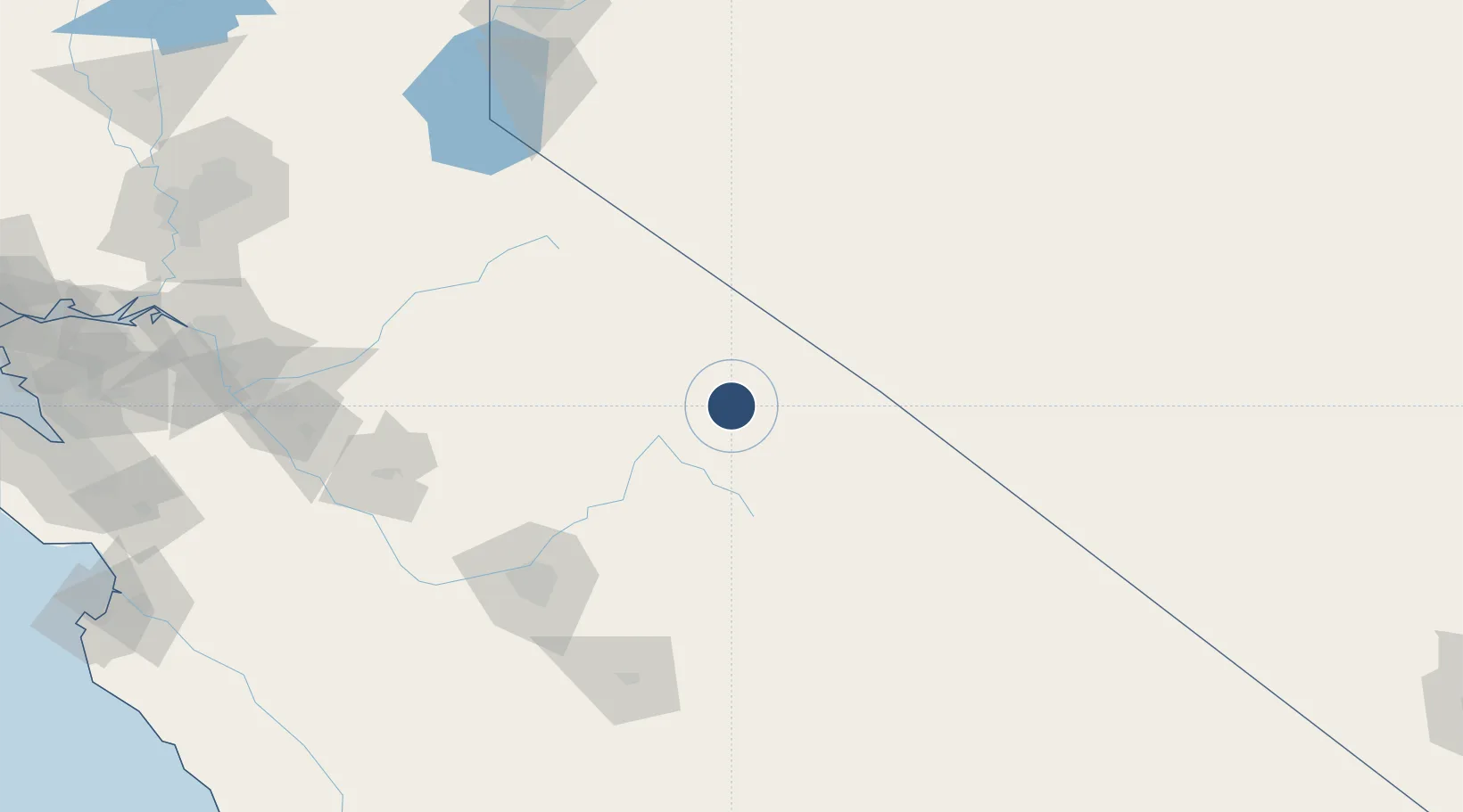
37.6254°, -118.8431°
7,000 ft
Longest runway
1
Runways
7,135 ft
Elevation

Runway & Layout

Mammoth Yosemite Airport runway & taxiway layout
Runway & taxiway layout — OpenStreetMap (ODbL) / OurAirports

Radio Frequencies

AWOS
118.05 MHz
AWOS 3
CNTR
125.75 MHz
OAKLAND CNTR
RDO
122.15 MHz
RIVERSIDE RDO
UNIC
122.8 MHz
CTAF/UNICOM
OurAirports

Runways · 1

RunwayDimensions SurfaceTrue headingLit
09/27 7,000 × 100ft Asphalt 109°
OurAirports

Airport Specifications

IATA code
MMH
OurAirports
ICAO code
KMMH
OurAirports
Airport class
Small airport
OurAirports
Scheduled service
Yes
OurAirports
Runway surface
Asphalt
OurAirports
Served city
Mammoth Lakes
OurAirports

Location

Location of KMMH
Natural Earth 10m (public domain) · California · KMMH · 37.63, -118.84GoogleOSMYandex

Nearby Logistics Neighbours

Airports
  1. 1Eastern Sierra Regional Airport51 km
  2. 2Fresno Yosemite International Airport122 km
  3. 3Merced Regional Macready Field152 km
  4. 4Visalia Municipal Airport153 km
  5. 5Castle Airport155 km
Nearest neighbours — logibook spatial index (haversine) over the source coordinates
Cities
  1. 1Dyer67 km
  2. 2Mather93 km
  3. 3Del Rey128 km
  4. 4Tuolumne129 km
  5. 5Chowchilla137 km
Nearest neighbours — logibook spatial index (haversine) over the source coordinates
Ports
  1. 1Stockton219 km
  2. 2Walnut Grove244 km
  3. 3Isleton249 km
  4. 4Courtland251 km
  5. 5Sacramento256 km
Nearest neighbours — logibook spatial index (haversine) over the source coordinates
Trade Zones
  1. 1FTZ No. 226 Merced, Madera and Fresno Counties149 km
  2. 2FTZ No. 231 Stockton221 km
  3. 3FTZ No. 126 Sparks232 km
  4. 4FTZ No. 276 Kern County251 km
  5. 5FTZ No. 143 West Sacramento258 km
Nearest neighbours — logibook spatial index (haversine) over the source coordinates
DatabookThe Record of Consolidated Knowledge
United States beyond logistics?
Browse databook

All Sources

AirportsOurAirports
Public domain
Portsthe NGA World Port Index
Public domain (US gov)
LocationsUN/LOCODE
UN/LOCODE — free
Trade Zonesthe World Bank SEZ database
CC BY 4.0
Trade ZonesOpen Zone Map
CC BY
InfrastructureOpenStreetMap
ODbL 1.0
← United States airports